Transport Functions
Multimodal
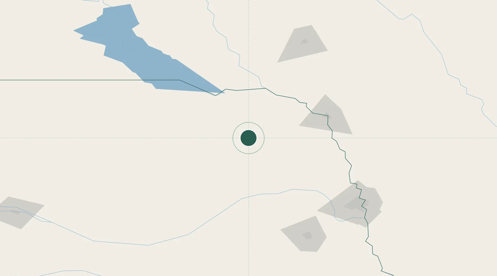
Hub Profile
Place type
Provincial seat
Region
Nebraska
Population
1,748
Time zone
America/Chicago
Elevation
482 m
Location
Nearby Logistics Neighbours
Cities
- 1Petersburg60 km
- 2Ewing68 km
- 3Platte Center72 km
- 4Niobrara75 km
- 5Vermillion83 km
Ports
- 1Superior665 km
- 2Duluth666 km
- 3Two Harbors710 km
- 4Ashland721 km
- 5Washburn725 km
Airports
Trade Zones
- 1FTZ No. 288 Northwest Iowa161 km
- 2FTZ No. 220 Sioux Falls163 km
- 3FTZ No. 059 Lincoln164 km
- 4FTZ No. 133 Quad-Cities, Iowa Illinois247 km
- 5FTZ No. 107 Polk County320 km
DatabookThe Record of Consolidated Knowledge
United States beyond logistics?