UN/LOCODE hub · United States
USPDC
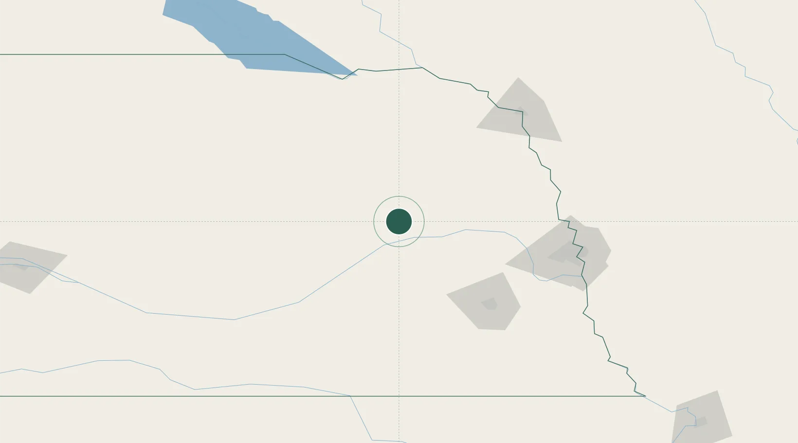
Platte Center
41.5333°, -97.4833°
338
Population
3
Transport functions
Transport Functions
Rail
Road
Multimodal
Hub Profile
Place type
Populated place
Region
Nebraska
Population
338
Time zone
America/Chicago
Elevation
465 m
Location
Nearby Logistics Neighbours
Cities
- 1Shelby39 km
- 2David City44 km
- 3North Bend59 km
- 4Morse Bluff61 km
- 5Petersburg61 km
Ports
- 1Superior722 km
- 2Duluth723 km
- 3Two Harbors766 km
- 4Ashland772 km
- 5Washburn776 km
Airports
Trade Zones
- 1FTZ No. 059 Lincoln98 km
- 2FTZ No. 133 Quad-Cities, Iowa Illinois182 km
- 3FTZ No. 288 Northwest Iowa215 km
- 4FTZ No. 220 Sioux Falls231 km
- 5FTZ No. 107 Polk County314 km
DatabookThe Record of Consolidated Knowledge
United States beyond logistics?