Transport Functions
Port
Hub Profile
Place type
Populated place
Region
Indiana
Time zone
America/Indiana/Indianapolis
Elevation
298 m
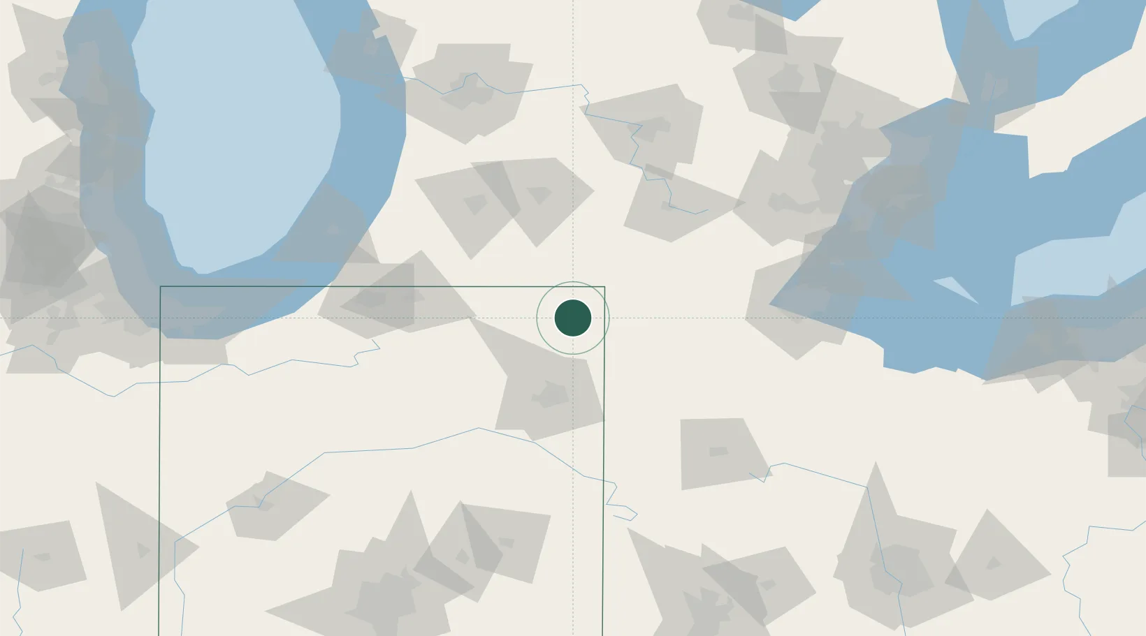
Location
Nearby Logistics Neighbours
Ports
- 1Toledo128 km
- 2St Joseph137 km
- 3South Haven141 km
- 4Monroe143 km
- 5Michigan City159 km
Airports
Trade Zones
- 1FTZ No. 182 Fort Wayne59 km
- 2FTZ No. 043 Battle Creek89 km
- 3FTZ No. 125 South Bend113 km
- 4FTZ No. 008 Toledo123 km
- 5FTZ No. 151 Findlay123 km
DatabookThe Record of Consolidated Knowledge
United States beyond logistics?