Transport Functions
Port
Road
Hub Profile
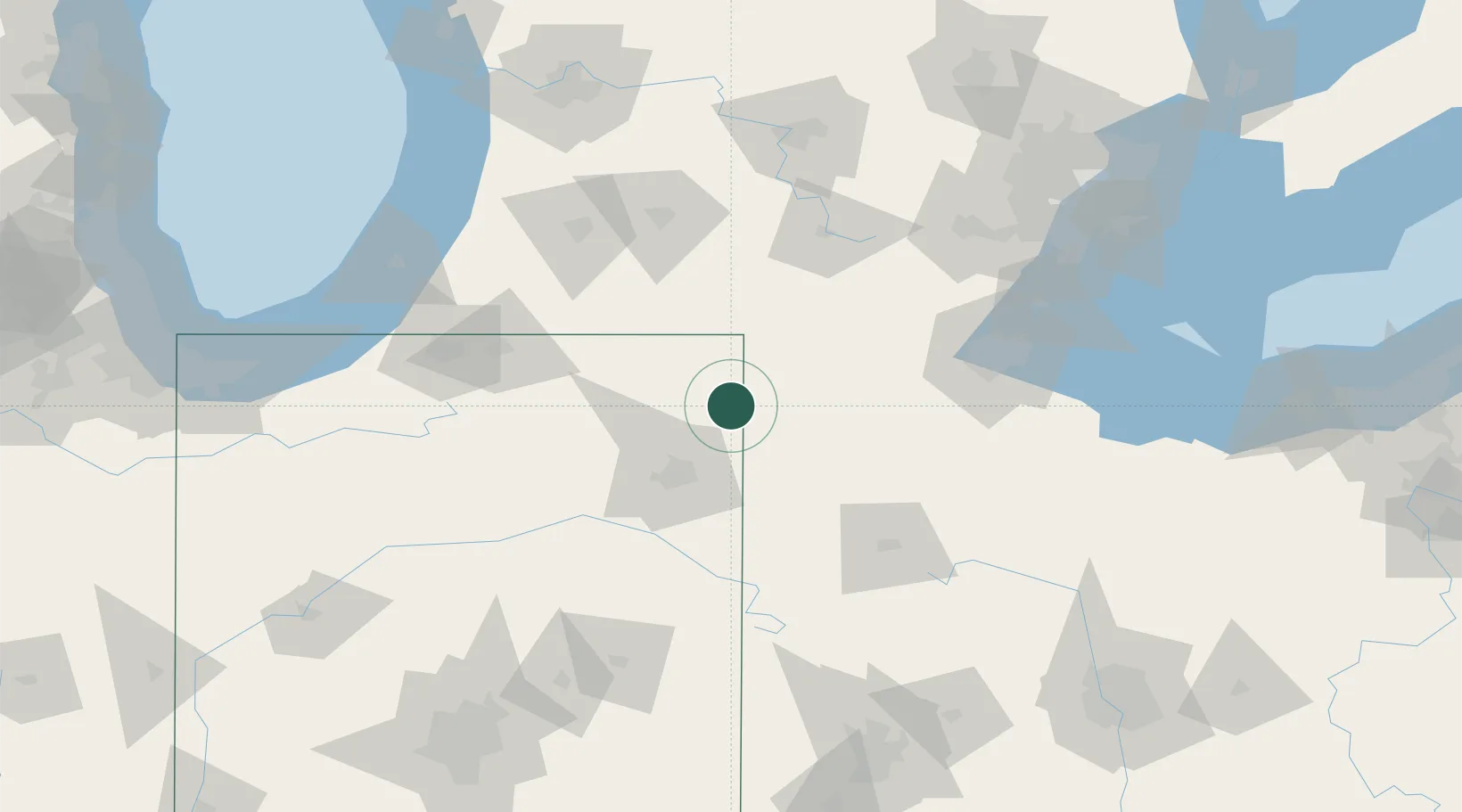
Place type
Populated place
Region
Indiana
Population
2,701
Time zone
America/Indiana/Indianapolis
Elevation
264 m
Location
Nearby Logistics Neighbours
Cities
- 1Hudson20 km
- 2Pleasant Lake20 km
- 3Ashley21 km
- 4Corunna22 km
- 5Garrett24 km
Ports
- 1Toledo121 km
- 2Monroe138 km
- 3St Joseph155 km
- 4South Haven160 km
- 5Port Clinton162 km
Airports
Trade Zones
- 1FTZ No. 182 Fort Wayne51 km
- 2FTZ No. 151 Findlay106 km
- 3FTZ No. 043 Battle Creek108 km
- 4FTZ No. 008 Toledo114 km
- 5FTZ No. 125 South Bend126 km
DatabookThe Record of Consolidated Knowledge
United States beyond logistics?