Transport Functions
Rail
Road
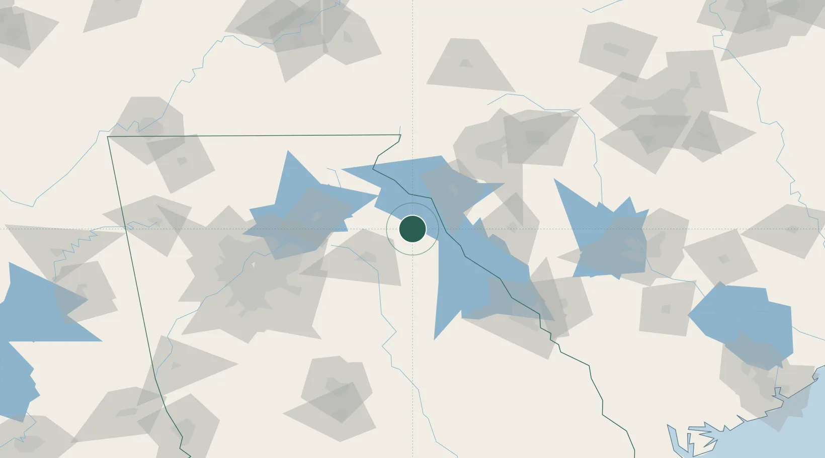
Hub Profile
Place type
Populated place
Region
Georgia
Population
820
Time zone
America/New_York
Elevation
238 m
Location
Nearby Logistics Neighbours
Cities
- 1Dewy Rose7 km
- 2Lavonia27 km
- 3Iva34 km
- 4Winterville35 km
- 5Starr36 km
Ports
- 1Beaufort294 km
- 2Savannah296 km
- 3Port Royal298 km
- 4Charleston328 km
- 5Darien348 km
Airports
Trade Zones
- 1FTZ No. 038 Spartanburg County104 km
- 2FTZ No. 026 Atlanta136 km
- 3FTZ No. 127 West Columbia175 km
- 4FTZ No. 057 Mecklenburg County212 km
- 5FTZ No. 148 Knoxville227 km
DatabookThe Record of Consolidated Knowledge
United States beyond logistics?