UN/LOCODE hub · United States
USWNL
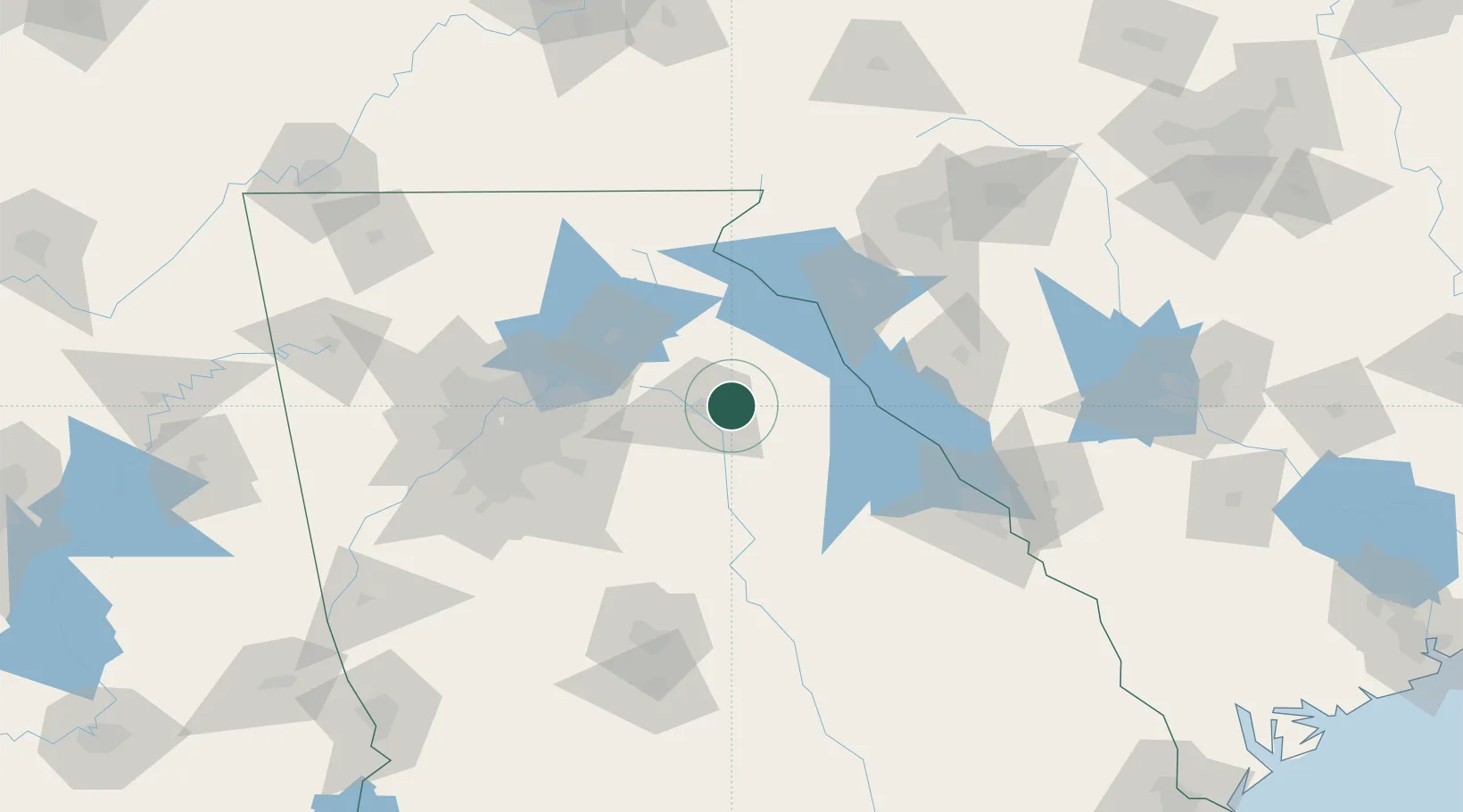
Winterville
33.9667°, -83.2667°
1,172
Population
2
Transport functions
Transport Functions
Road
Multimodal
Hub Profile
Place type
Populated place
Region
Georgia
Population
1,172
Time zone
America/New_York
Elevation
244 m
Location
Nearby Logistics Neighbours
Cities
- 1Bishop23 km
- 2Bogart25 km
- 3Statham29 km
- 4Commerce31 km
- 5Jefferson, Jackson34 km
Ports
- 1Savannah292 km
- 2Beaufort296 km
- 3Port Royal299 km
- 4Darien336 km
- 5Charleston338 km
Airports
Trade Zones
- 1FTZ No. 026 Atlanta106 km
- 2FTZ No. 038 Spartanburg County139 km
- 3FTZ No. 127 West Columbia197 km
- 4FTZ No. 134 Chattanooga231 km
- 5FTZ No. 148 Knoxville241 km
DatabookThe Record of Consolidated Knowledge
United States beyond logistics?