UN/LOCODE hub · United States
USGQE
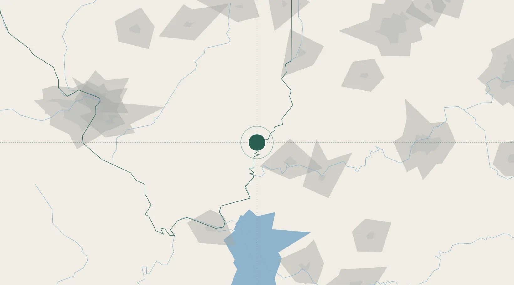
Grayville
38.2500°, -88.0000°
1,626
Population
2
Transport functions
Transport Functions
Rail
Road
Hub Profile
Place type
Populated place
Region
Illinois
Population
1,626
Time zone
America/Chicago
Elevation
131 m
Location
Nearby Logistics Neighbours
Cities
- 1Griffin9 km
- 2Wadesville25 km
- 3Mount Carmel28 km
- 4Owensville28 km
- 5West Salem30 km
Ports
- 1Gary379 km
- 2Indiana Harbor383 km
- 3Calumet Harbor390 km
- 4Michigan City399 km
- 5Port Of Memphis403 km
Airports
Trade Zones
- 1FTZ No. 177 Evansville44 km
- 2FTZ No. 294 Western Kentucky141 km
- 3FTZ No. 029 Louisville192 km
- 4FTZ No. 031 Granite City199 km
- 5FTZ No. 245 Decatur201 km
DatabookThe Record of Consolidated Knowledge
United States beyond logistics?