Transport Functions
Rail
Road
Multimodal
Hub Profile
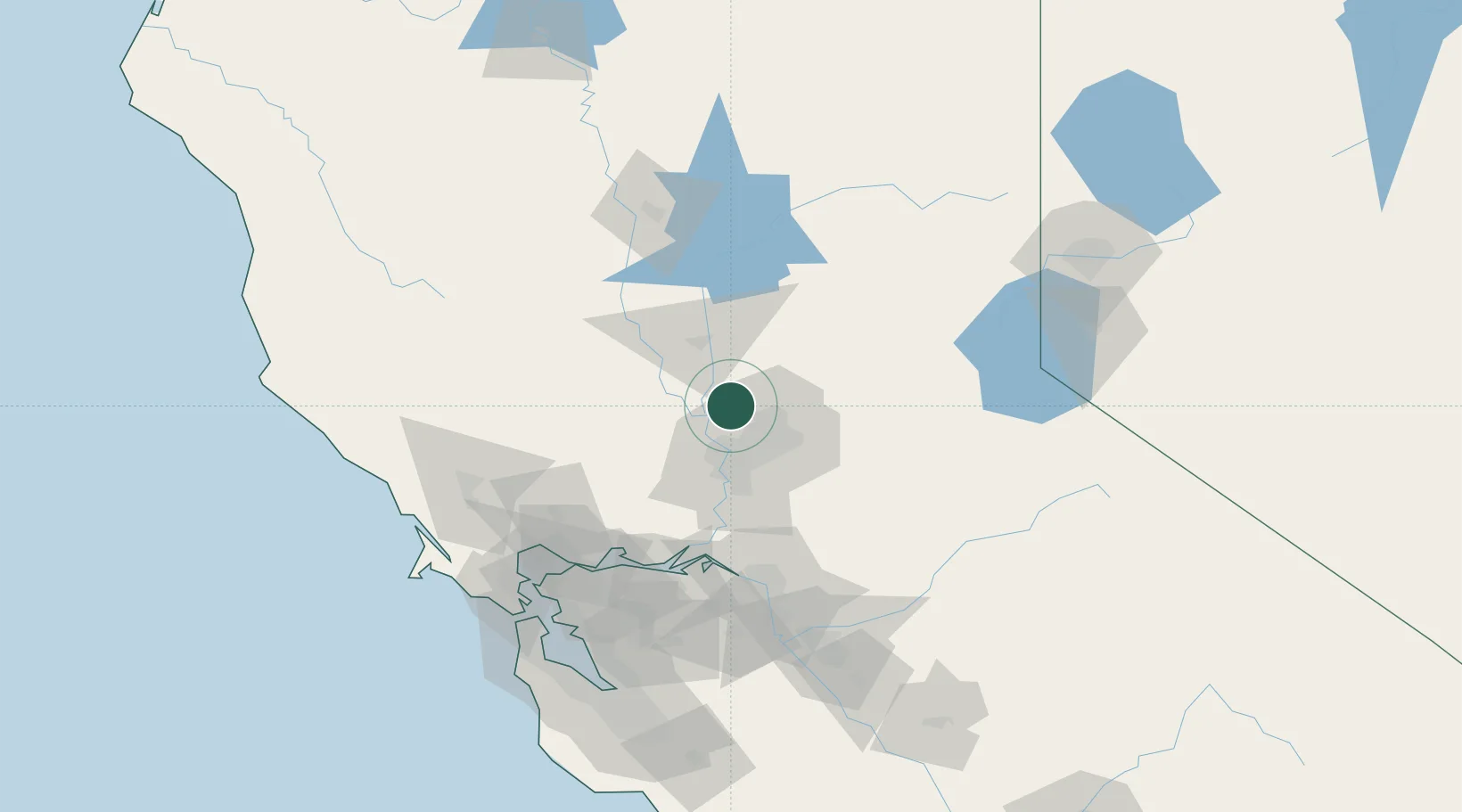
Place type
Populated place
Region
California
Time zone
America/Los_Angeles
Elevation
15 m
Location
Nearby Logistics Neighbours
Cities
- 1McClellan Air Force Base18 km
- 2Sacramento18 km
- 3Granite Bay28 km
- 4Orangevale29 km
- 5Olivehurst30 km
Ports
- 1Sacramento26 km
- 2Courtland54 km
- 3Walnut Grove65 km
- 4Isleton73 km
- 5Rio Vista77 km
Airports
Trade Zones
- 1FTZ No. 143 West Sacramento26 km
- 2FTZ No. 231 Stockton97 km
- 3FTZ No. 056 Oakland132 km
- 4FTZ No. 003 San Francisco138 km
- 5FTZ No. 018 San Jose168 km
DatabookThe Record of Consolidated Knowledge
United States beyond logistics?