Transport Functions
Port
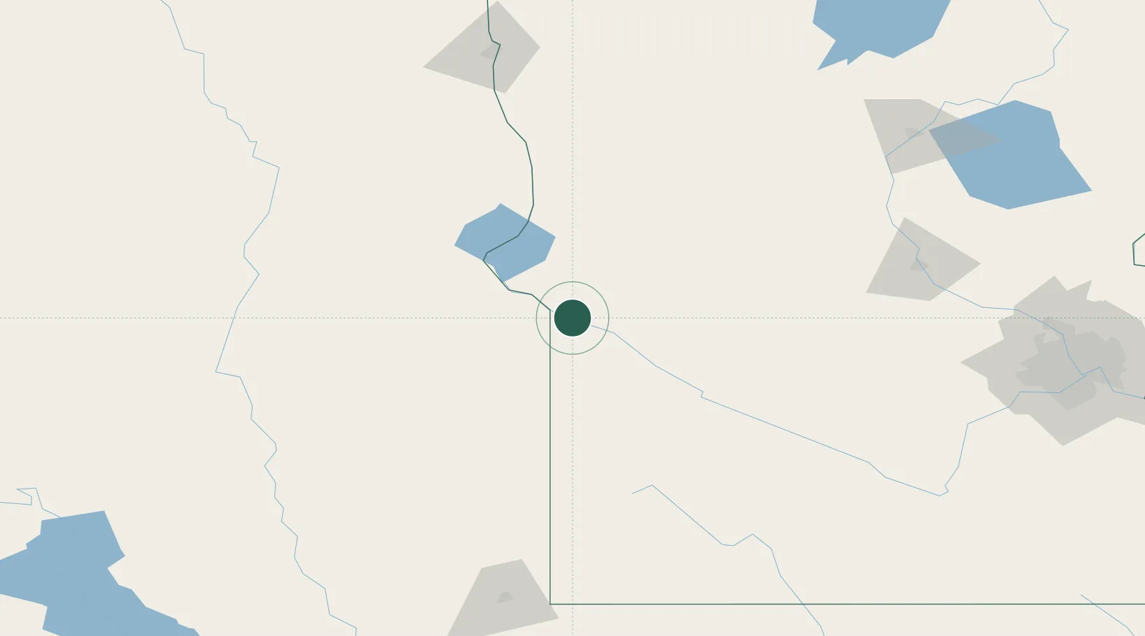
Hub Profile
Place type
Populated place
Region
Minnesota
Population
129
Time zone
America/Chicago
Elevation
293 m
Location
Nearby Logistics Neighbours
Cities
- 1Big Stone City11 km
- 2Clinton26 km
- 3Danvers44 km
- 4Hancock49 km
- 5Sisseton74 km
Ports
- 1Duluth367 km
- 2Superior367 km
- 3Two Harbors410 km
- 4Ashland447 km
- 5Washburn449 km
Airports
- 1Watertown Regional Airport76 km
- 2Chandler Field99 km
- 3Redwood Falls Municipal Airport125 km
- 4Hutchinson Health Heliport158 km
- 5Aberdeen Regional Airport166 km
Trade Zones
- 1FTZ No. 267 Fargo185 km
- 2FTZ No. 220 Sioux Falls193 km
- 3FTZ No. 288 Northwest Iowa233 km
- 4FTZ No. 119 Minneapolis-St. Paul244 km
- 5FTZ No. 103 Grand Forks304 km
DatabookThe Record of Consolidated Knowledge
United States beyond logistics?