UN/LOCODE hub · United States
USHB2
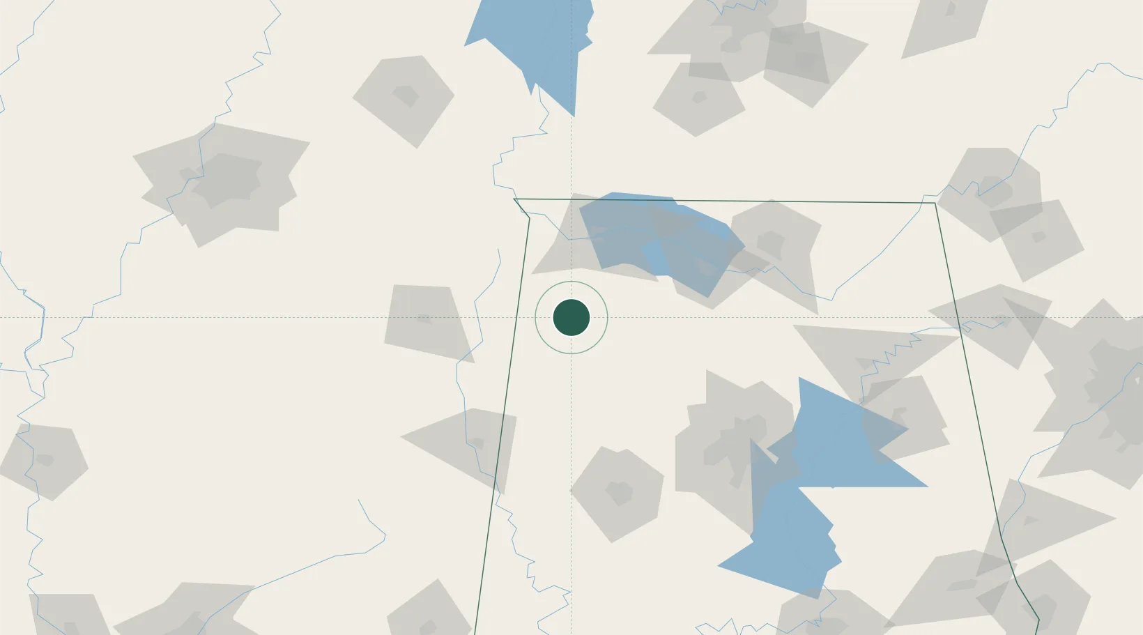
Hackleburg
34.2833°, -87.8333°
1,486
Population
2
Transport functions
Transport Functions
Rail
Road
Hub Profile
Place type
Populated place
Region
Alabama
Population
1,486
Time zone
America/Chicago
Elevation
286 m
Location
Nearby Logistics Neighbours
Cities
- 1Phil Campbell14 km
- 2Haleyville19 km
- 3Oakland35 km
- 4Double Springs43 km
- 5Detroit43 km
Ports
- 1Port Of Memphis231 km
- 2Mobile401 km
- 3Pensacola436 km
- 4Pascagoula443 km
- 5Biloxi445 km
Airports
Trade Zones
- 1FTZ No. 265 Conroe (Montgomery County)91 km
- 2FTZ No. 270 Lawrence County93 km
- 3FTZ No. 083 Huntsville106 km
- 4FTZ No. 098 Birmingham127 km
- 5FTZ No. 262 Southaven215 km
DatabookThe Record of Consolidated Knowledge
United States beyond logistics?