Transport Functions
Rail
Road
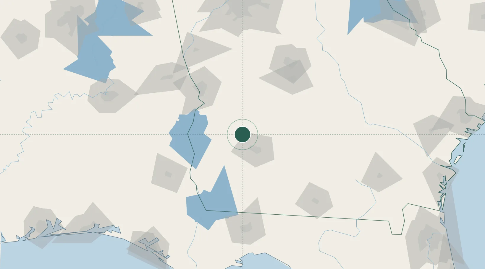
Hub Profile
Place type
Populated place
Region
Georgia
Population
391
Time zone
America/New_York
Elevation
112 m
Location
Nearby Logistics Neighbours
Cities
- 1Latonia30 km
- 2Concord35 km
- 3Ellaville47 km
- 4Lilly58 km
- 5Buena Vista58 km
Ports
- 1Carrabelle221 km
- 2Panama City225 km
- 3Port St Joe241 km
- 4Apalachicola241 km
- 5Brunswick280 km
Airports
- 1Southwest Georgia Regional Airport35 km
- 2Lawson Army Air Field83 km
- 3Columbus Airport96 km
- 4Robins Air Force Base116 km
- 5Middle Georgia Regional Airport118 km
Trade Zones
- 1FTZ No. 233 Dothan121 km
- 2FTZ No. 222 Montgomery195 km
- 3FTZ No. 026 Atlanta216 km
- 4FTZ No. 065 Panama City223 km
- 5FTZ No. 144 Brunswick280 km
DatabookThe Record of Consolidated Knowledge
United States beyond logistics?