Transport Functions
Rail
Road
Hub Profile
Place type
Populated place
Region
Mississippi
Time zone
America/Chicago
Elevation
25 m
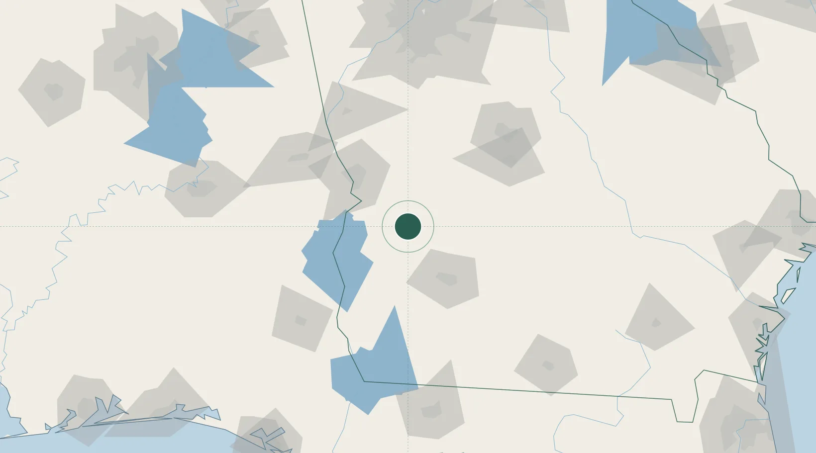
Location
Nearby Logistics Neighbours
Cities
- 1Concord16 km
- 2Ellaville28 km
- 3Bronwood30 km
- 4Buena Vista30 km
- 5Cottonton54 km
Ports
- 1Panama City240 km
- 2Carrabelle245 km
- 3Port St Joe260 km
- 4Apalachicola264 km
- 5Darien300 km
Airports
- 1Lawson Army Air Field56 km
- 2Southwest Georgia Regional Airport64 km
- 3Columbus Airport66 km
- 4Middle Georgia Regional Airport107 km
- 5Robins Air Force Base108 km
Trade Zones
- 1FTZ No. 233 Dothan127 km
- 2FTZ No. 222 Montgomery174 km
- 3FTZ No. 026 Atlanta191 km
- 4FTZ No. 065 Panama City237 km
- 5FTZ No. 098 Birmingham271 km
DatabookThe Record of Consolidated Knowledge
United States beyond logistics?