Transport Functions
Port
Multimodal
Hub Profile
Place type
Populated place
Region
Georgia
Time zone
America/New_York
Elevation
162 m
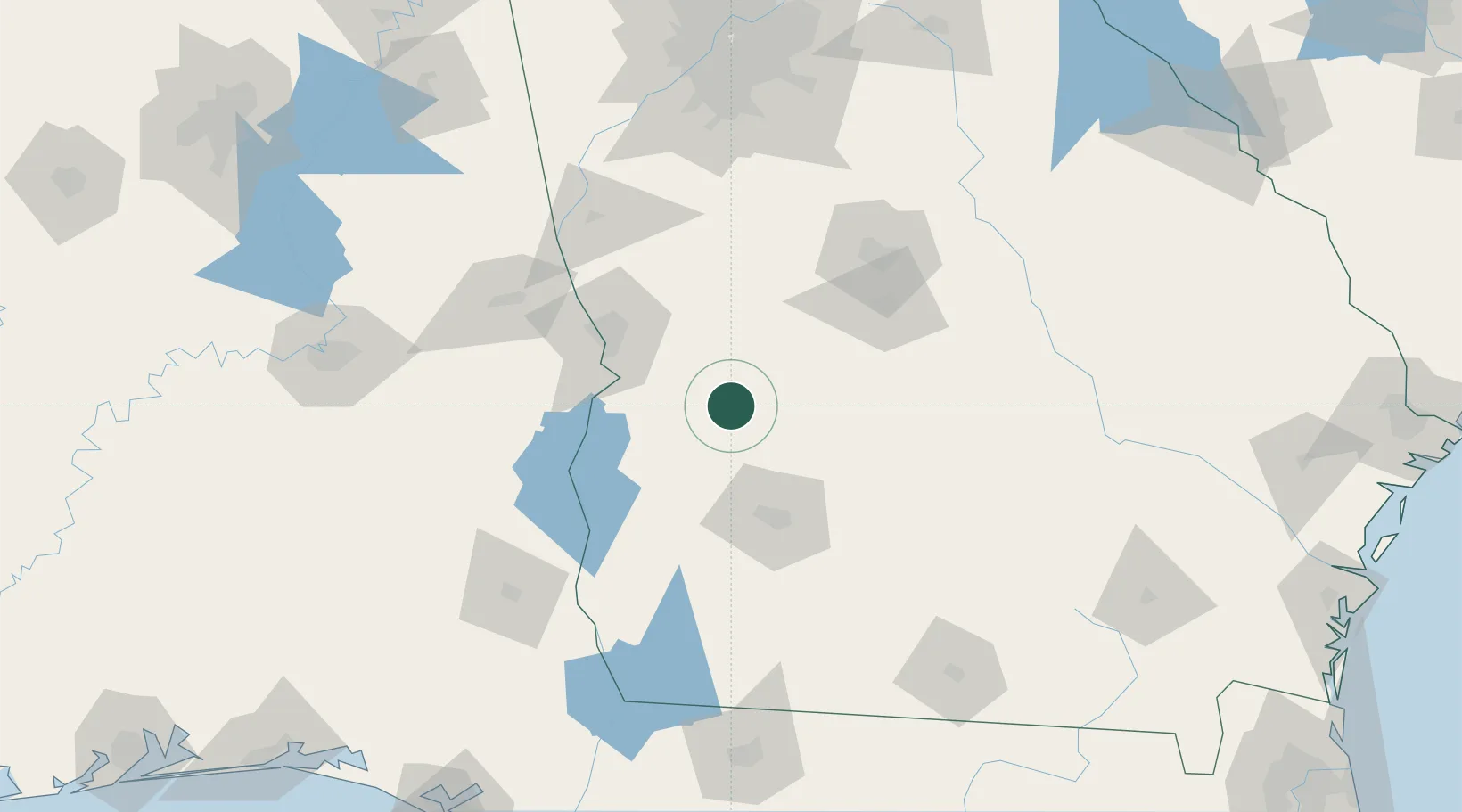
Location
Nearby Logistics Neighbours
Cities
- 1Ellaville13 km
- 2Latonia16 km
- 3Buena Vista25 km
- 4Bronwood35 km
- 5Lilly46 km
Ports
- 1Panama City254 km
- 2Carrabelle256 km
- 3Port St Joe273 km
- 4Apalachicola275 km
- 5Darien290 km
Airports
Trade Zones
- 1FTZ No. 233 Dothan142 km
- 2FTZ No. 026 Atlanta181 km
- 3FTZ No. 222 Montgomery185 km
- 4FTZ No. 065 Panama City251 km
- 5FTZ No. 098 Birmingham276 km
DatabookThe Record of Consolidated Knowledge
United States beyond logistics?