Transport Functions
Port
Road
Hub Profile
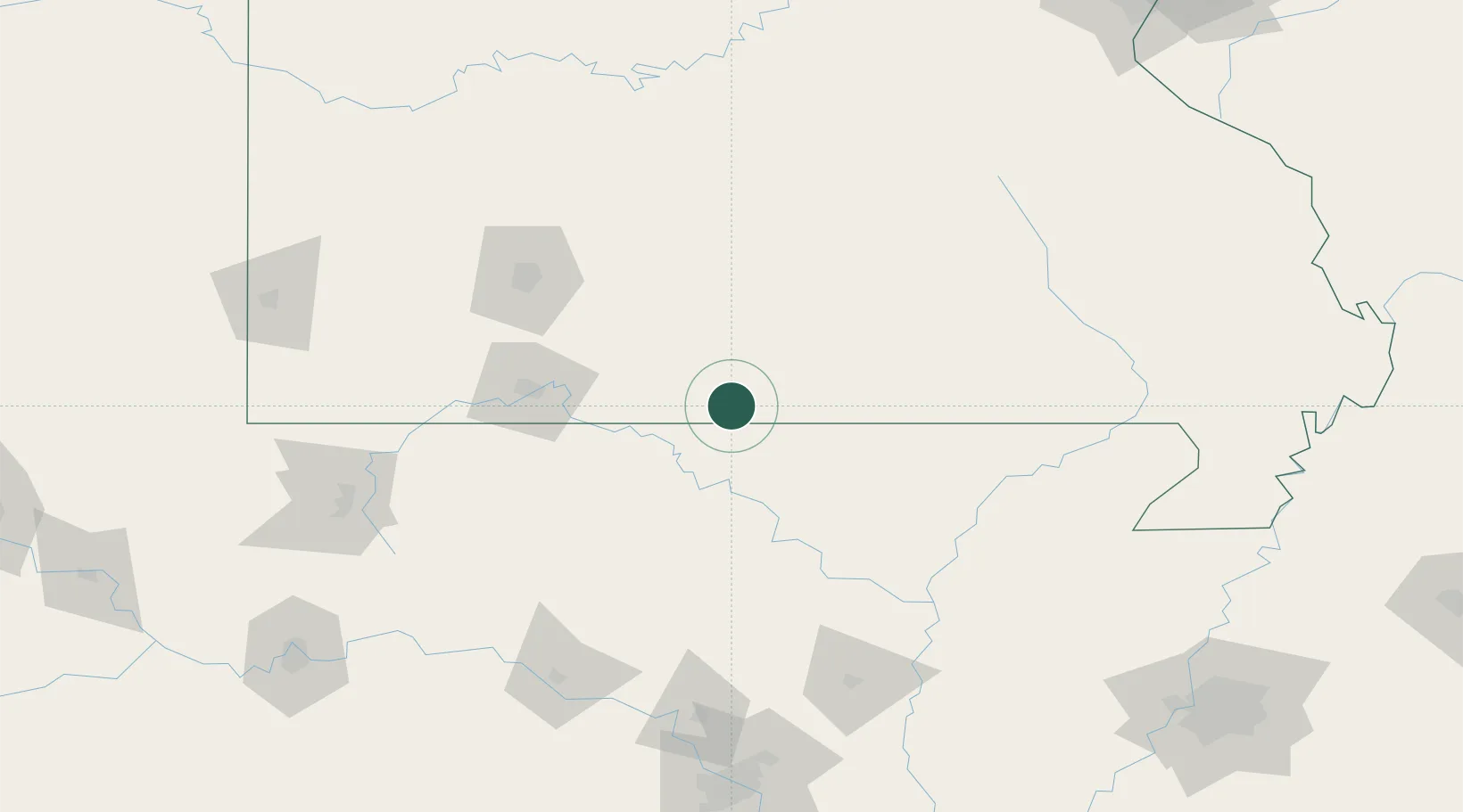
Place type
Populated place
Region
Missouri
Time zone
America/Chicago
Elevation
186 m
Location
Nearby Logistics Neighbours
Ports
- 1Port Of Memphis256 km
- 2Baton Rouge690 km
- 3Indiana Harbor704 km
- 4Gary705 km
- 5Calumet Harbor705 km
Airports
Trade Zones
- 1FTZ No. 225 Springfield102 km
- 2FTZ No. 014 Little Rock208 km
- 3FTZ No. 077 Memphis246 km
- 4FTZ No. 273 West Memphis248 km
- 5FTZ No. 283 West Tennessee253 km
DatabookThe Record of Consolidated Knowledge
United States beyond logistics?