UN/LOCODE hub · United States
USOOH

Hillsboro, Lawrence

34.6333°, -87.1833°
2
Transport functions

Transport Functions

Rail
Road
UN/LOCODE

Hub Profile

Region
AL
GeoNames

Location

Location of USOOH
Natural Earth 10m (public domain) · AL · USOOH · 34.63, -87.18GoogleOSMYandex

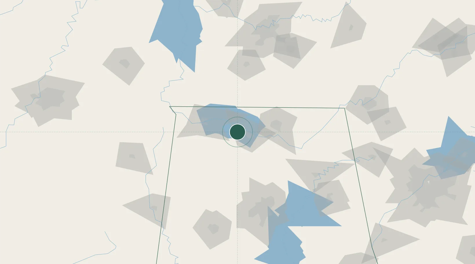
Nearby Logistics Neighbours

Cities
  1. 1Town Creek21 km
  2. 2Tanner23 km
  3. 3Belle Mina29 km
  4. 4Georgia31 km
  5. 5Elkmont37 km
Nearest neighbours — logibook spatial index (haversine) over the source coordinates
Ports
  1. 1Port Of Memphis277 km
  2. 2Mobile448 km
  3. 3Pensacola471 km
  4. 4Pascagoula494 km
  5. 5Biloxi499 km
Nearest neighbours — logibook spatial index (haversine) over the source coordinates
Airports
  1. 1Huntsville International Airport37 km
  2. 2Northwest Alabama Regional Airport41 km
  3. 3Redstone Army Air Field46 km
  4. 4Birmingham-Shuttlesworth International Airport126 km
  5. 5Tupelo Regional Airport151 km
Nearest neighbours — logibook spatial index (haversine) over the source coordinates
Trade Zones
  1. 1FTZ No. 265 Conroe (Montgomery County)21 km
  2. 2FTZ No. 270 Lawrence County25 km
  3. 3FTZ No. 083 Huntsville38 km
  4. 4FTZ No. 098 Birmingham128 km
  5. 5FTZ No. 134 Chattanooga173 km
Nearest neighbours — logibook spatial index (haversine) over the source coordinates
DatabookThe Record of Consolidated Knowledge
United States beyond logistics?
Browse databook

All Sources

LocationsUN/LOCODE
UN/LOCODE — free
Portsthe NGA World Port Index
Public domain (US gov)
AirportsOurAirports
Public domain
Trade Zonesthe World Bank SEZ database
CC BY 4.0
Trade ZonesOpen Zone Map
CC BY
← United States locations