Transport Functions
Road
Multimodal
Hub Profile
Place type
Populated place
Region
Alabama
Time zone
America/Chicago
Elevation
183 m
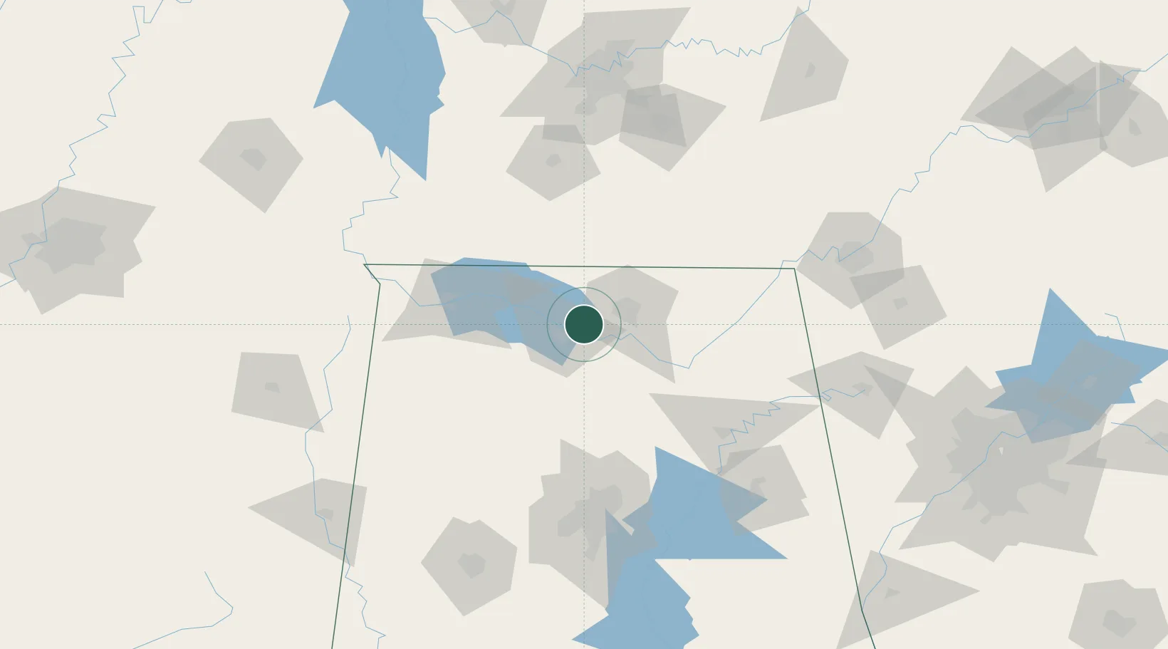
Location
Nearby Logistics Neighbours
Cities
- 1Tanner13 km
- 2Rainbow17 km
- 3Georgia23 km
- 4Hillsboro, Lawrence29 km
- 5Toney30 km
Ports
- 1Port Of Memphis305 km
- 2Mobile456 km
- 3Pensacola474 km
- 4Pascagoula504 km
- 5Biloxi511 km
Airports
Trade Zones
DatabookThe Record of Consolidated Knowledge
United States beyond logistics?