Transport Functions
Port
Road
Hub Profile
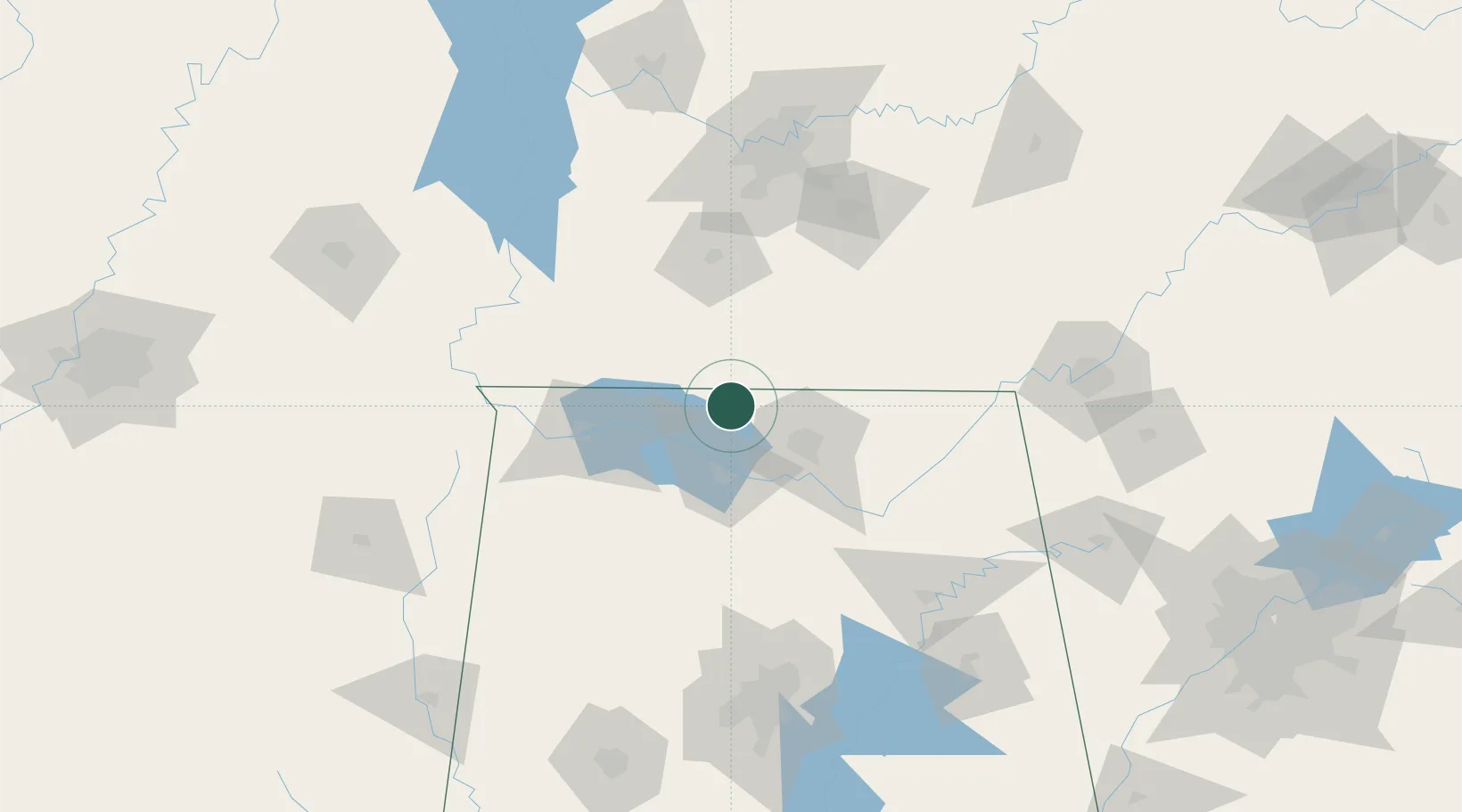
Place type
Populated place
Region
Alabama
Population
466
Time zone
America/Chicago
Elevation
246 m
Location
Nearby Logistics Neighbours
Ports
- 1Port Of Memphis292 km
- 2Mobile483 km
- 3Pensacola503 km
- 4Pascagoula529 km
- 5Biloxi535 km
Airports
Trade Zones
DatabookThe Record of Consolidated Knowledge
United States beyond logistics?