Transport Functions
Rail
Road
Multimodal
Hub Profile
Place type
Populated place
Region
Alabama
Time zone
America/Chicago
Elevation
212 m
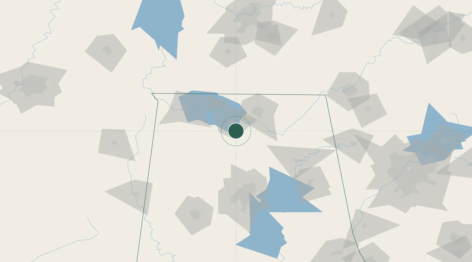
Location
Nearby Logistics Neighbours
Cities
- 1Falkville10 km
- 2Belle Mina23 km
- 3Hillsboro, Lawrence31 km
- 4Tanner32 km
- 5Rainbow38 km
Ports
- 1Port Of Memphis303 km
- 2Mobile433 km
- 3Pensacola451 km
- 4Pascagoula481 km
- 5Biloxi488 km
Airports
Trade Zones
DatabookThe Record of Consolidated Knowledge
United States beyond logistics?