UN/LOCODE hub · United States
USHDB
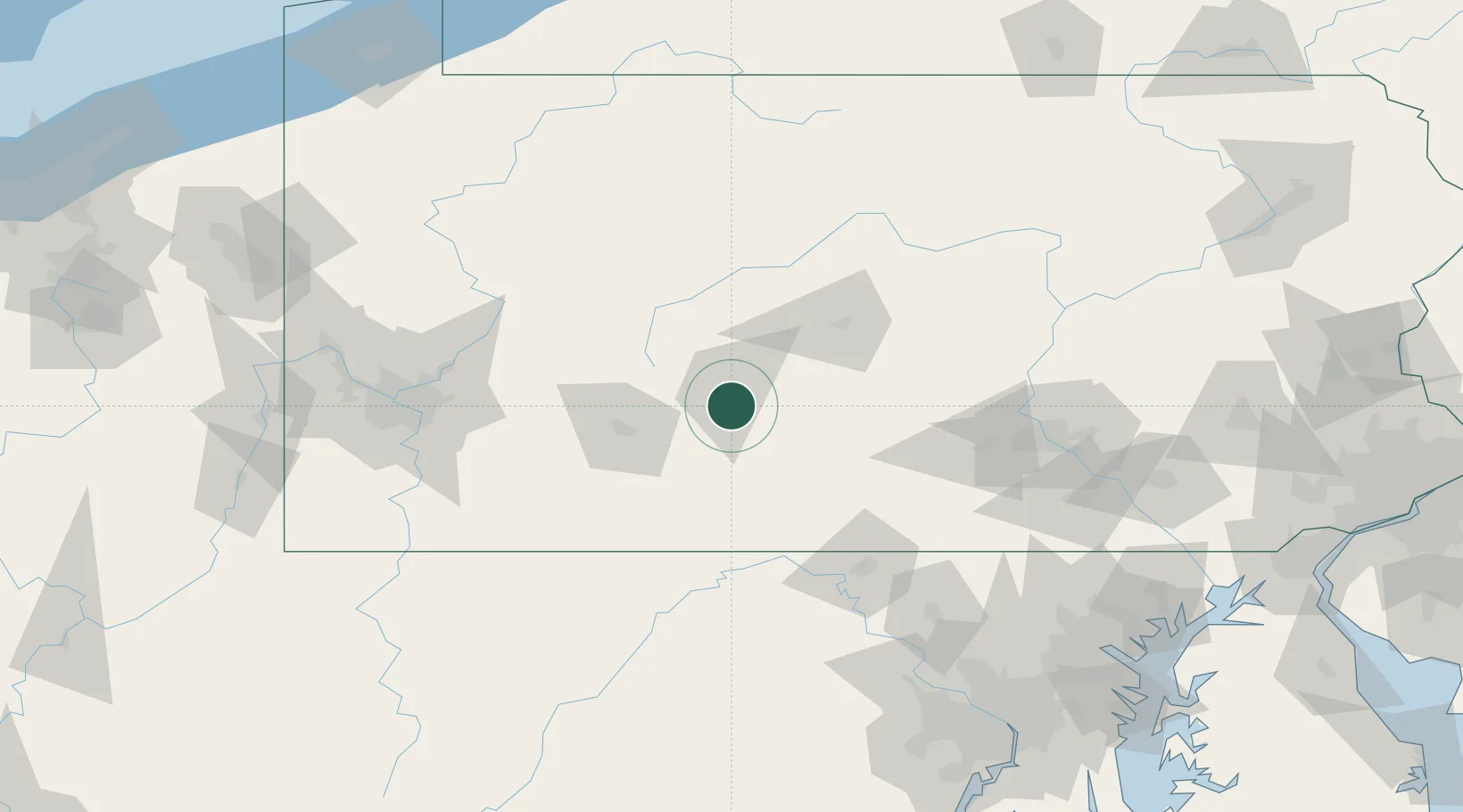
Hollidaysburg
40.4167°, -78.3833°
5,784
Population
2
Transport functions
Transport Functions
Rail
Road
Hub Profile
Place type
Provincial seat
Region
Pennsylvania
Population
5,784
Time zone
America/New_York
Elevation
289 m
Location
Nearby Logistics Neighbours
Cities
- 1Newry6 km
- 2Martinsburg14 km
- 3Claysburg14 km
- 4Cresson17 km
- 5Sproul18 km
Ports
- 1Baltimore200 km
- 2Washington D.C.208 km
- 3Alexandria214 km
- 4Havre De Grace219 km
- 5Annapolis228 km
Airports
Trade Zones
- 1FTZ No. 295 Central Pennsylvania83 km
- 2FTZ No. 240 Martinsburg111 km
- 3FTZ No. 254 Jefferson County117 km
- 4FTZ No. 033 Pittsburgh141 km
- 5FTZ No. 147 Berks County179 km
DatabookThe Record of Consolidated Knowledge
United States beyond logistics?