Transport Functions
Road
Multimodal
Hub Profile
Place type
Populated place
Region
Illinois
Population
253
Time zone
America/Chicago
Elevation
114 m
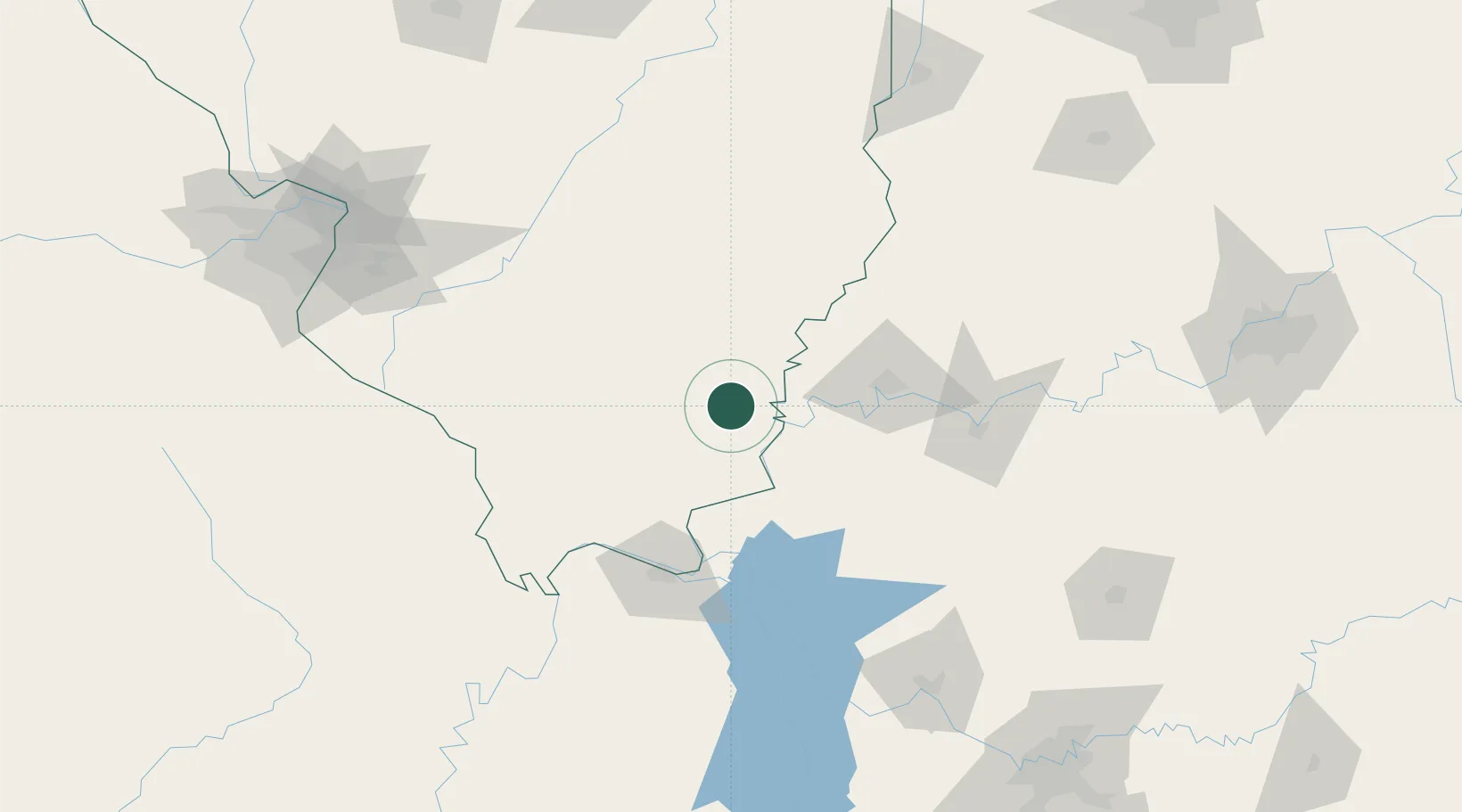
Location
Nearby Logistics Neighbours
Cities
- 1Eldorado14 km
- 2Uniontown35 km
- 3Carrier Mills36 km
- 4Sturgis48 km
- 5Grayville49 km
Ports
- 1Port Of Memphis355 km
- 2Gary423 km
- 3Indiana Harbor427 km
- 4Calumet Harbor433 km
- 5Michigan City445 km
Airports
Trade Zones
- 1FTZ No. 177 Evansville62 km
- 2FTZ No. 294 Western Kentucky94 km
- 3FTZ No. 031 Granite City191 km
- 4FTZ No. 078 Nashville218 km
- 5FTZ No. 102 St. Louis County227 km
DatabookThe Record of Consolidated Knowledge
United States beyond logistics?