Transport Functions
Port
Rail
Road
Hub Profile
Place type
Populated place
Region
Kentucky
Population
967
Time zone
America/Chicago
Elevation
111 m
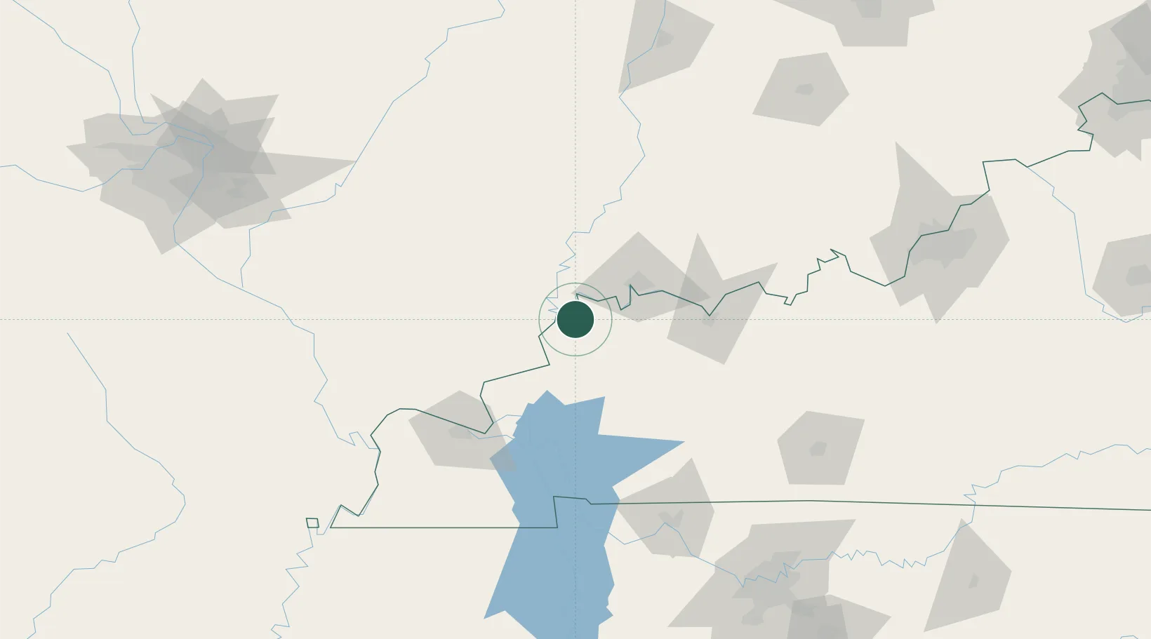
Location
Nearby Logistics Neighbours
Cities
- 1Sturgis26 km
- 2Omaha35 km
- 3Dixon36 km
- 4Robards37 km
- 5Wadesville39 km
Ports
- 1Port Of Memphis361 km
- 2Gary431 km
- 3Indiana Harbor436 km
- 4Calumet Harbor443 km
- 5Michigan City450 km
Airports
Trade Zones
- 1FTZ No. 177 Evansville38 km
- 2FTZ No. 294 Western Kentucky97 km
- 3FTZ No. 078 Nashville192 km
- 4FTZ No. 029 Louisville195 km
- 5FTZ No. 245 Decatur252 km
DatabookThe Record of Consolidated Knowledge
United States beyond logistics?