UN/LOCODE hub · United States
USED2
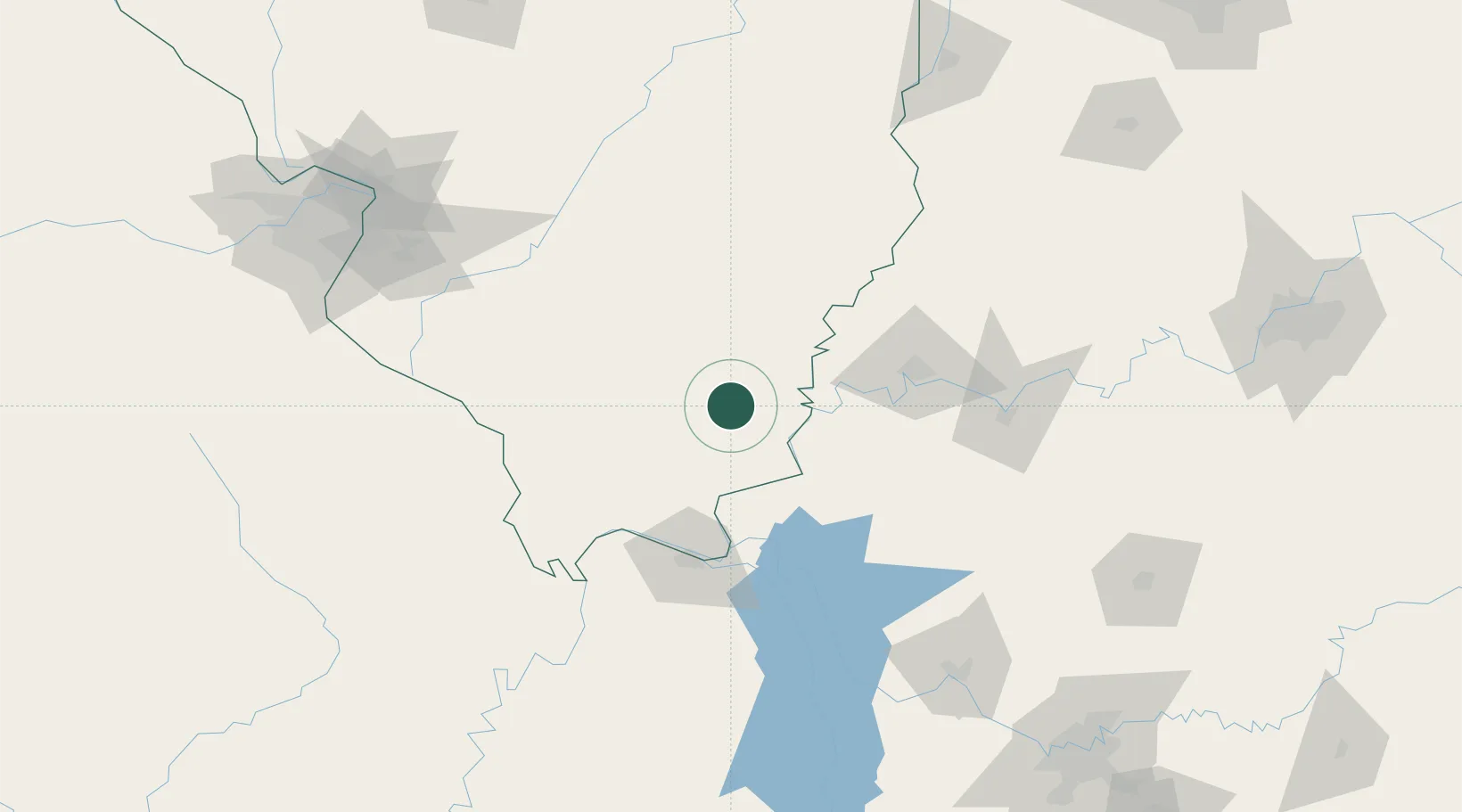
Eldorado
37.8167°, -88.4333°
4,064
Population
3
Transport functions
Transport Functions
Rail
Road
Multimodal
Hub Profile
Place type
Populated place
Region
Illinois
Population
4,064
Time zone
America/Chicago
Elevation
119 m
Location
Nearby Logistics Neighbours
Cities
- 1Omaha14 km
- 2Carrier Mills22 km
- 3Uniontown44 km
- 4Rosiclare45 km
- 5Sturgis51 km
Ports
- 1Port Of Memphis343 km
- 2Gary433 km
- 3Indiana Harbor437 km
- 4Calumet Harbor443 km
- 5Michigan City455 km
Airports
Trade Zones
- 1FTZ No. 177 Evansville75 km
- 2FTZ No. 294 Western Kentucky84 km
- 3FTZ No. 031 Granite City186 km
- 4FTZ No. 078 Nashville218 km
- 5FTZ No. 102 St. Louis County219 km
DatabookThe Record of Consolidated Knowledge
United States beyond logistics?