Transport Functions
Rail
Road
Airport
Multimodal
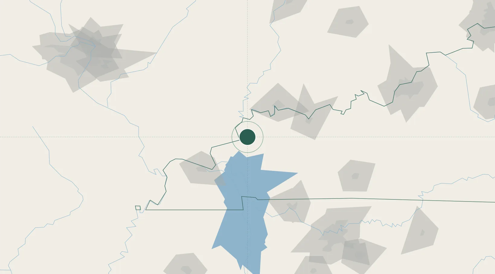
Hub Profile
Place type
Populated place
Region
Kentucky
Population
1,912
Time zone
America/Chicago
Elevation
113 m
Location
Nearby Logistics Neighbours
Cities
- 1Providence, Webster24 km
- 2Uniontown26 km
- 3Dixon27 km
- 4Rosiclare35 km
- 5Fredonia38 km
Ports
- 1Port Of Memphis337 km
- 2Gary457 km
- 3Indiana Harbor462 km
- 4Calumet Harbor469 km
- 5Michigan City476 km
Airports
Trade Zones
- 1FTZ No. 177 Evansville61 km
- 2FTZ No. 294 Western Kentucky74 km
- 3FTZ No. 078 Nashville171 km
- 4FTZ No. 029 Louisville208 km
- 5FTZ No. 283 West Tennessee249 km
DatabookThe Record of Consolidated Knowledge
United States beyond logistics?