UN/LOCODE hub · United States
USCM9
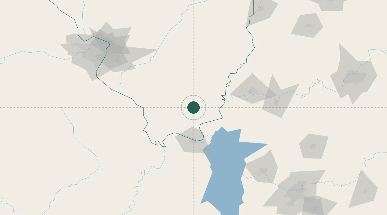
Carrier Mills
37.6833°, -88.6167°
1,625
Population
2
Transport functions
Transport Functions
Port
Multimodal
Hub Profile
Place type
Populated place
Region
Illinois
Population
1,625
Time zone
America/Chicago
Elevation
118 m
Location
Nearby Logistics Neighbours
Ports
- 1Port Of Memphis322 km
- 2Gary451 km
- 3Indiana Harbor454 km
- 4Calumet Harbor460 km
- 5Michigan City474 km
Airports
Trade Zones
- 1FTZ No. 294 Western Kentucky69 km
- 2FTZ No. 177 Evansville95 km
- 3FTZ No. 031 Granite City182 km
- 4FTZ No. 102 St. Louis County212 km
- 5FTZ No. 078 Nashville216 km
DatabookThe Record of Consolidated Knowledge
United States beyond logistics?