UN/LOCODE hub · United States
USRBU
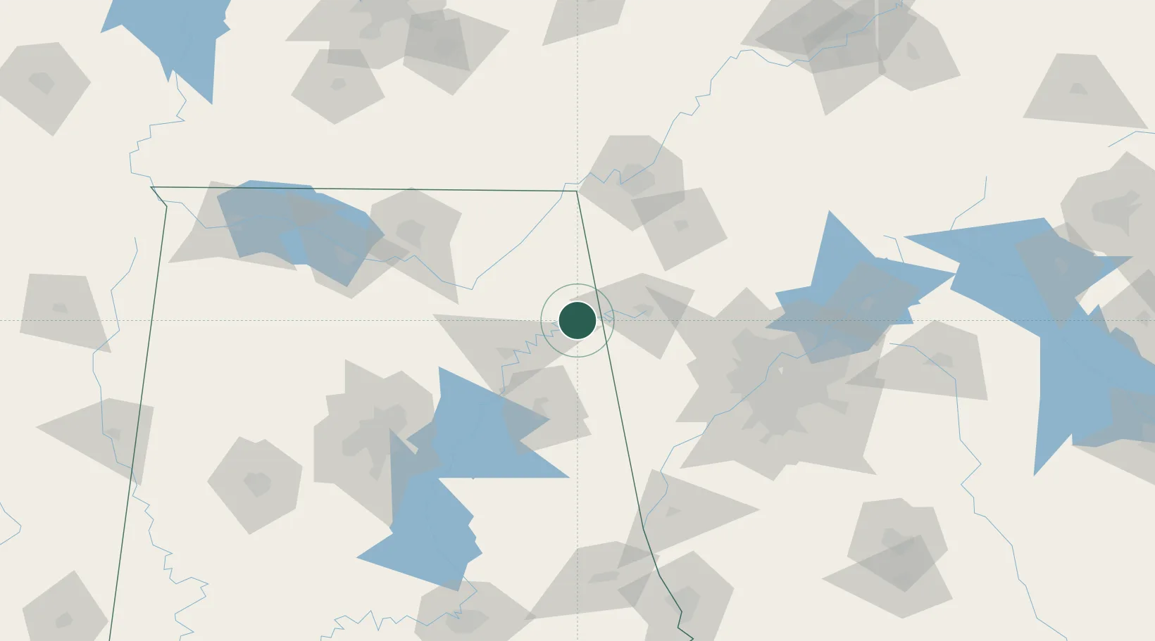
Cedar Bluff
34.2000°, -85.6000°
1,802
Population
2
Transport functions
Transport Functions
Road
Multimodal
Hub Profile
Place type
Populated place
Region
Alabama
Population
1,802
Time zone
America/Chicago
Elevation
181 m
Location
Nearby Logistics Neighbours
Cities
- 1Collinsville24 km
- 2Cave Spring27 km
- 3Lyerly29 km
- 4Piedmont32 km
- 5Rainsville38 km
Ports
- 1Pensacola449 km
- 2Panama City452 km
- 3Mobile457 km
- 4Savannah482 km
- 5Beaufort499 km
Airports
Trade Zones
- 1FTZ No. 134 Chattanooga102 km
- 2FTZ No. 083 Huntsville118 km
- 3FTZ No. 026 Atlanta122 km
- 4FTZ No. 270 Lawrence County130 km
- 5FTZ No. 265 Conroe (Montgomery County)135 km
DatabookThe Record of Consolidated Knowledge
United States beyond logistics?