UN/LOCODE hub · United States
USCQ3

Clinton

40.0500°, -79.4667°
2
Transport functions

Transport Functions

Road
Multimodal
UN/LOCODE

Hub Profile

Place type
Populated place
GeoNames
Region
Pennsylvania
GeoNames
Time zone
America/New_York
GeoNames
Elevation
611 m
GeoNames

Location

Location of USCQ3
Natural Earth 10m (public domain) · Pennsylvania · USCQ3 · 40.05, -79.47GoogleOSMYandex

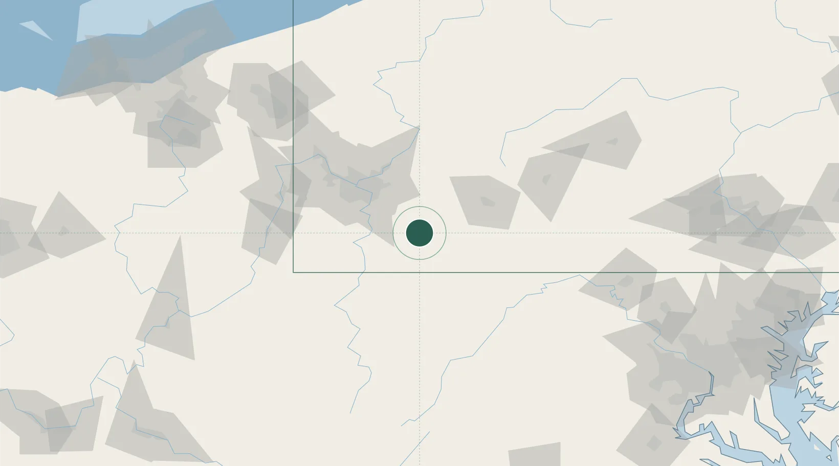
Nearby Logistics Neighbours

Cities
  1. 1Everson11 km
  2. 2Mount Braddock18 km
  3. 3Ruffs Dale18 km
  4. 4Ohiopyle20 km
  5. 5Hunker21 km
Nearest neighbours — logibook spatial index (haversine) over the source coordinates
Ports
  1. 1Conneaut232 km
  2. 2Ashtabula234 km
  3. 3Erie240 km
  4. 4Fairport245 km
  5. 5Washington D.C.247 km
Nearest neighbours — logibook spatial index (haversine) over the source coordinates
Trade Zones
  1. 1FTZ No. 033 Pittsburgh65 km
  2. 2FTZ No. 295 Central Pennsylvania134 km
  3. 3FTZ No. 240 Martinsburg141 km
  4. 4FTZ No. 254 Jefferson County166 km
  5. 5FTZ No. 185 Culpeper County210 km
Nearest neighbours — logibook spatial index (haversine) over the source coordinates
DatabookThe Record of Consolidated Knowledge
United States beyond logistics?
Browse databook

All Sources

LocationsUN/LOCODE
UN/LOCODE — free
Portsthe NGA World Port Index
Public domain (US gov)
AirportsOurAirports
Public domain
Trade Zonesthe World Bank SEZ database
CC BY 4.0
Trade ZonesOpen Zone Map
CC BY
← United States locations