Transport Functions
Rail
Road
Hub Profile
Place type
Populated place
Region
Pennsylvania
Time zone
America/New_York
Elevation
358 m
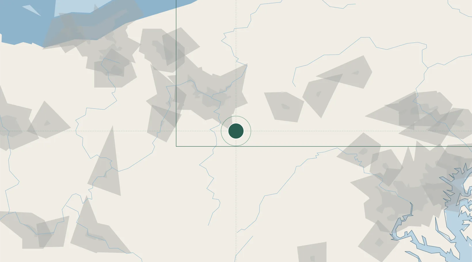
Location
Nearby Logistics Neighbours
Cities
- 1Morgan4 km
- 2Lemont Furnace5 km
- 3Smock14 km
- 4Everson15 km
- 5Ohiopyle16 km
Ports
- 1Conneaut237 km
- 2Ashtabula238 km
- 3Fairport246 km
- 4Cleveland246 km
- 5Washington D.C.254 km
Airports
Trade Zones
- 1FTZ No. 033 Pittsburgh64 km
- 2FTZ No. 240 Martinsburg150 km
- 3FTZ No. 295 Central Pennsylvania150 km
- 4FTZ No. 254 Jefferson County181 km
- 5FTZ No. 185 Culpeper County210 km
DatabookThe Record of Consolidated Knowledge
United States beyond logistics?