Transport Functions
Multimodal
Hub Profile
Place type
Populated place
Region
Pennsylvania
Time zone
America/New_York
Elevation
354 m
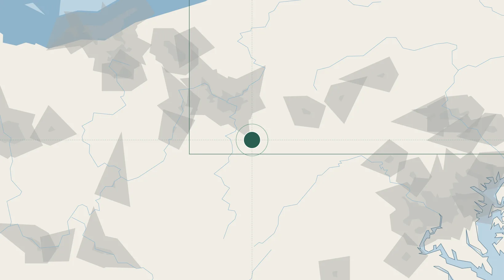
Location
Nearby Logistics Neighbours
Cities
- 1Lemont Furnace1 km
- 2Mount Braddock4 km
- 3Smock15 km
- 4Ohiopyle15 km
- 5Smithfield19 km
Ports
- 1Conneaut240 km
- 2Ashtabula241 km
- 3Cleveland248 km
- 4Fairport248 km
- 5Washington D.C.253 km
Airports
Trade Zones
- 1FTZ No. 033 Pittsburgh67 km
- 2FTZ No. 240 Martinsburg150 km
- 3FTZ No. 295 Central Pennsylvania154 km
- 4FTZ No. 254 Jefferson County185 km
- 5FTZ No. 185 Culpeper County208 km
DatabookThe Record of Consolidated Knowledge
United States beyond logistics?