Transport Functions
Rail
Road
Multimodal
Hub Profile
Region
VA
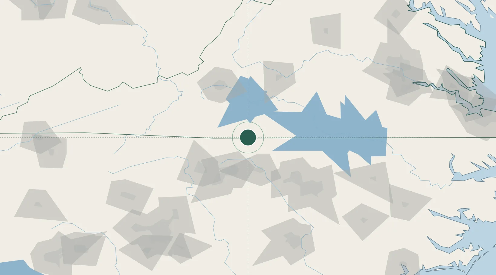
Location
Nearby Logistics Neighbours
Cities
- 1Axton17 km
- 2Dry Fork, Pittsylvania29 km
- 3Collinsville34 km
- 4Fieldale34 km
- 5Sutherlin38 km
Ports
- 1Richmond223 km
- 2Washington255 km
- 3Plymouth267 km
- 4West Point272 km
- 5Fredericksburg272 km
Airports
Trade Zones
- 1FTZ No. 230 Piedmont Triad Area64 km
- 2FTZ No. 093 Raleigh Durham95 km
- 3FTZ No. 238 Dublin115 km
- 4FTZ No. 057 Mecklenburg County196 km
- 5FTZ No. 207 Richmond211 km
DatabookThe Record of Consolidated Knowledge
United States beyond logistics?