Transport Functions
Rail
Road
Multimodal
Hub Profile
Region
VA
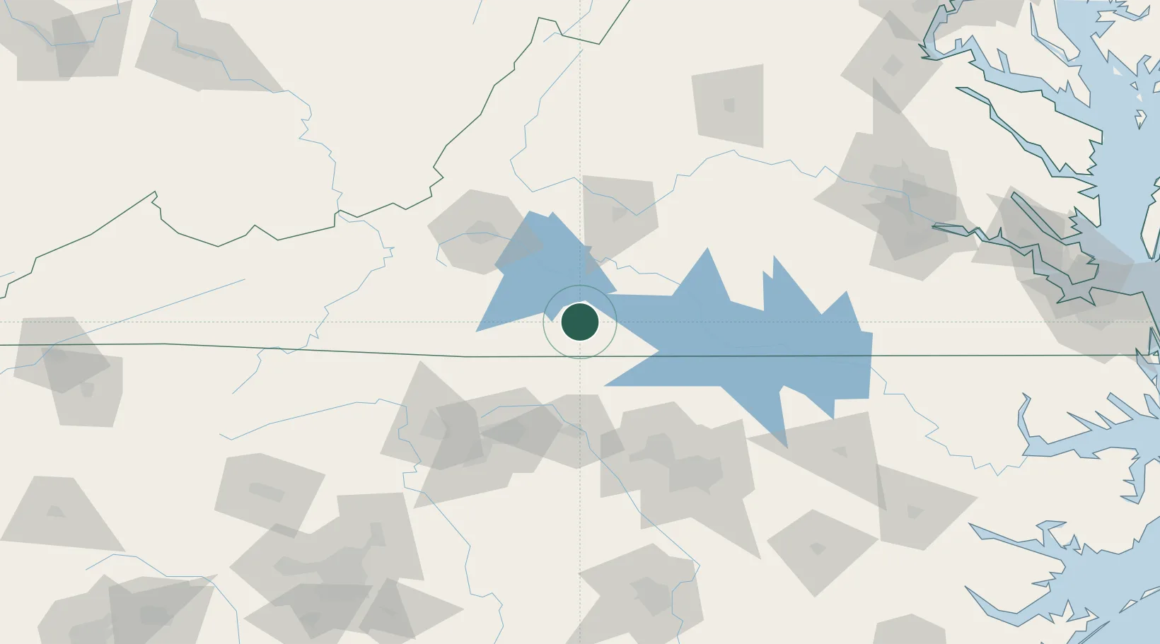
Location
Nearby Logistics Neighbours
Cities
- 1Sutherlin24 km
- 2Oak Hill, Pittsylvania29 km
- 3Axton30 km
- 4Semora38 km
- 5Alton41 km
Ports
- 1Richmond196 km
- 2Fredericksburg244 km
- 3West Point246 km
- 4Washington250 km
- 5Plymouth257 km
Airports
Trade Zones
- 1FTZ No. 230 Piedmont Triad Area92 km
- 2FTZ No. 093 Raleigh Durham104 km
- 3FTZ No. 238 Dublin122 km
- 4FTZ No. 207 Richmond184 km
- 5FTZ No. 214 Lenoir County218 km
DatabookThe Record of Consolidated Knowledge
United States beyond logistics?