Transport Functions
Rail
Road
Hub Profile
Place type
Populated place
Region
Virginia
Population
879
Time zone
America/New_York
Elevation
246 m
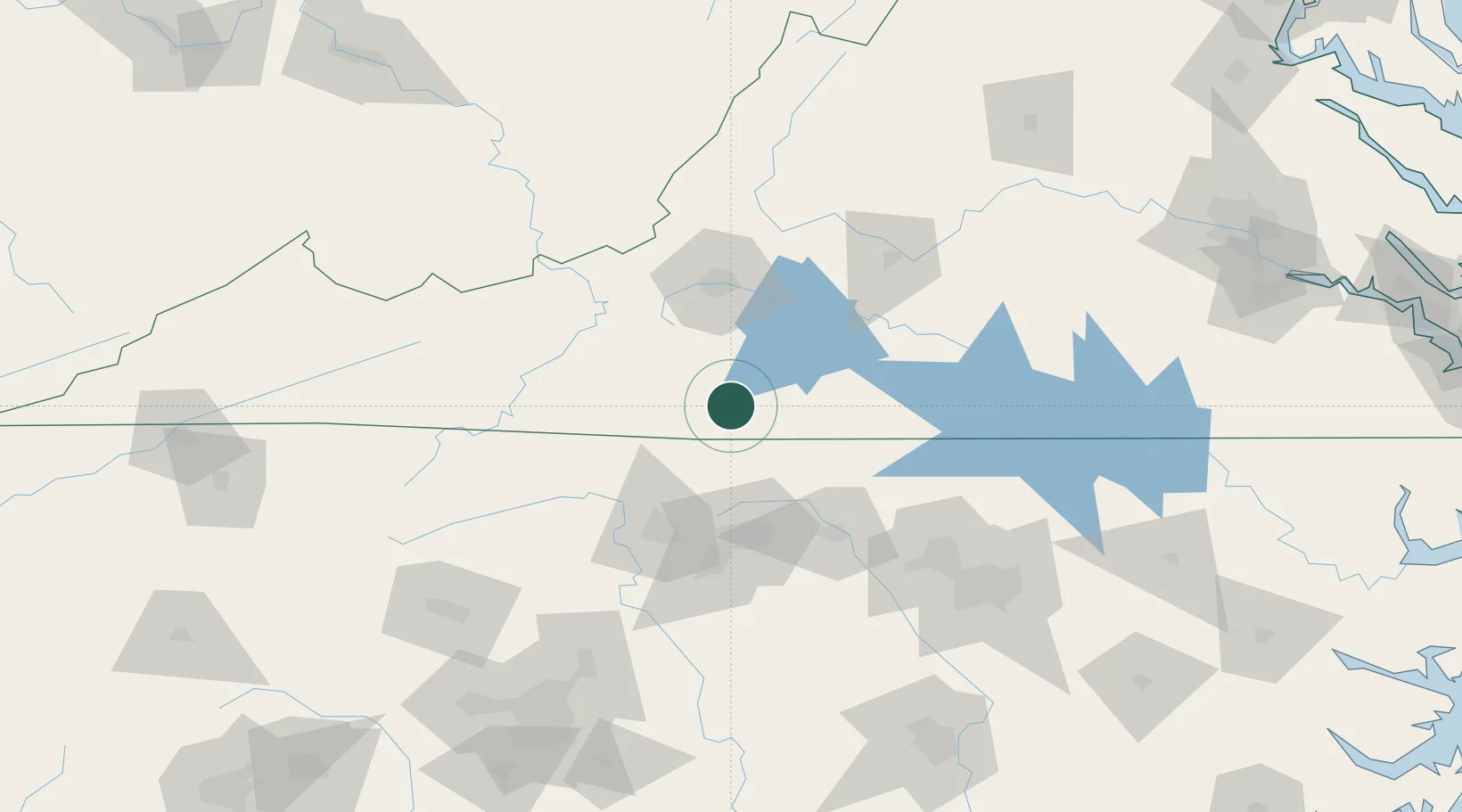
Location
Nearby Logistics Neighbours
Cities
- 1Collinsville2 km
- 2Axton20 km
- 3Oak Hill, Pittsylvania34 km
- 4Meadows of Dan40 km
- 5Floyd41 km
Ports
- 1Richmond242 km
- 2Fredericksburg282 km
- 3Washington289 km
- 4West Point293 km
- 5Plymouth300 km
Airports
Trade Zones
- 1FTZ No. 230 Piedmont Triad Area60 km
- 2FTZ No. 238 Dublin81 km
- 3FTZ No. 093 Raleigh Durham128 km
- 4FTZ No. 057 Mecklenburg County191 km
- 5FTZ No. 204 Tri-Cities222 km
DatabookThe Record of Consolidated Knowledge
United States beyond logistics?