UN/LOCODE hub · United States
USOSI
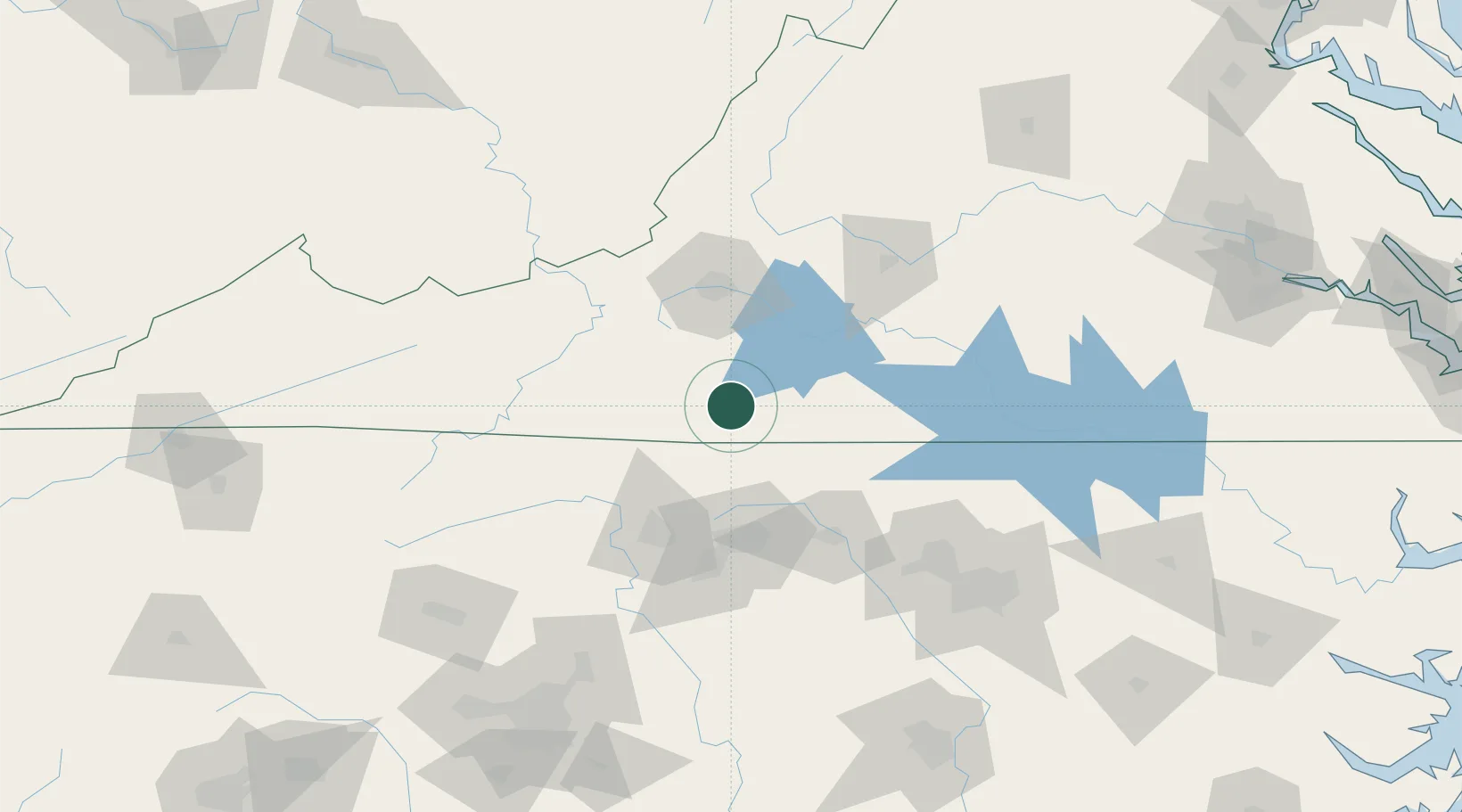
Collinsville
36.7167°, -79.9167°
7,335
Population
2
Transport functions
Transport Functions
Road
Multimodal
Hub Profile
Place type
Populated place
Region
Virginia
Population
7,335
Time zone
America/New_York
Elevation
250 m
Location
Nearby Logistics Neighbours
Cities
- 1Fieldale2 km
- 2Axton19 km
- 3Oak Hill, Pittsylvania34 km
- 4Floyd41 km
- 5Meadows of Dan42 km
Ports
- 1Richmond240 km
- 2Fredericksburg280 km
- 3Washington288 km
- 4West Point291 km
- 5Plymouth299 km
Airports
Trade Zones
- 1FTZ No. 230 Piedmont Triad Area62 km
- 2FTZ No. 238 Dublin82 km
- 3FTZ No. 093 Raleigh Durham128 km
- 4FTZ No. 057 Mecklenburg County193 km
- 5FTZ No. 204 Tri-Cities224 km
DatabookThe Record of Consolidated Knowledge
United States beyond logistics?