Transport Functions
Multimodal
Hub Profile
Place type
Populated place
Region
Virginia
Time zone
America/New_York
Elevation
121 m
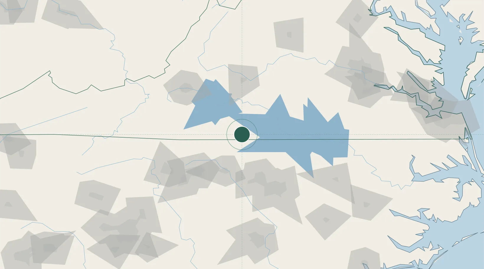
Location
Nearby Logistics Neighbours
Cities
- 1Semora16 km
- 2Alton17 km
- 3Dry Fork, Pittsylvania24 km
- 4Halifax29 km
- 5Crystal Hill36 km
Ports
- 1Richmond187 km
- 2Washington225 km
- 3Plymouth234 km
- 4West Point235 km
- 5Edenton238 km
Airports
Trade Zones
- 1FTZ No. 093 Raleigh Durham83 km
- 2FTZ No. 230 Piedmont Triad Area99 km
- 3FTZ No. 238 Dublin145 km
- 4FTZ No. 207 Richmond176 km
- 5FTZ No. 214 Lenoir County194 km
DatabookThe Record of Consolidated Knowledge
United States beyond logistics?