Transport Functions
Rail
Road
Hub Profile
Place type
Populated place
Region
Virginia
Time zone
America/New_York
Elevation
307 m
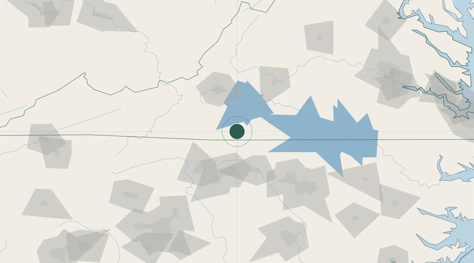
Location
Nearby Logistics Neighbours
Cities
- 1Oak Hill, Pittsylvania17 km
- 2Collinsville19 km
- 3Fieldale20 km
- 4Dry Fork, Pittsylvania30 km
- 5Sutherlin48 km
Ports
- 1Richmond226 km
- 2Washington270 km
- 3Fredericksburg270 km
- 4West Point276 km
- 5Plymouth280 km
Airports
Trade Zones
- 1FTZ No. 230 Piedmont Triad Area66 km
- 2FTZ No. 238 Dublin100 km
- 3FTZ No. 093 Raleigh Durham112 km
- 4FTZ No. 057 Mecklenburg County199 km
- 5FTZ No. 207 Richmond214 km
DatabookThe Record of Consolidated Knowledge
United States beyond logistics?