UN/LOCODE hub · United States
USOHF
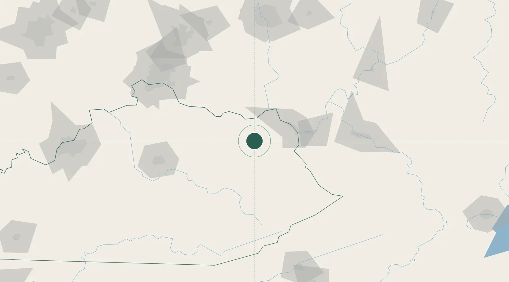
Olive Hill
38.3000°, -83.1833°
1,599
Population
2
Transport functions
Transport Functions
Rail
Road
Hub Profile
Place type
Populated place
Region
Kentucky
Population
1,599
Time zone
America/New_York
Elevation
228 m
Location
Nearby Logistics Neighbours
Ports
- 1Huron349 km
- 2Sandusky353 km
- 3Vermilion355 km
- 4Port Clinton358 km
- 5Lorain362 km
Airports
Trade Zones
- 1FTZ No. 229 Charleston128 km
- 2FTZ No. 054 Clinton County136 km
- 3FTZ No. 046 CIncinnati146 km
- 4FTZ No. 047 Boone County165 km
- 5FTZ No. 138 Franklin County170 km
DatabookThe Record of Consolidated Knowledge
United States beyond logistics?