Transport Functions
Road
Multimodal
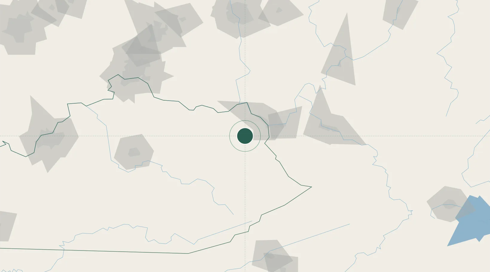
Hub Profile
Place type
Populated place
Region
Kentucky
Time zone
America/New_York
Elevation
183 m
Location
Nearby Logistics Neighbours
Cities
- 1Grahn13 km
- 2Olive Hill24 km
- 3Prichard27 km
- 4Fort Gay32 km
- 5Wurtland34 km
Ports
- 1Huron350 km
- 2Sandusky354 km
- 3Vermilion355 km
- 4Lorain361 km
- 5Port Clinton361 km
Airports
- 1Tri-State Airport / Milton J. Ferguson Field33 km
- 2Julian Carroll Airport83 km
- 3Yeager Airport116 km
- 4Central Kentucky Regional Airport143 km
- 5Wilmington Airpark150 km
Trade Zones
- 1FTZ No. 229 Charleston105 km
- 2FTZ No. 054 Clinton County150 km
- 3FTZ No. 046 CIncinnati167 km
- 4FTZ No. 138 Franklin County172 km
- 5FTZ No. 047 Boone County188 km
DatabookThe Record of Consolidated Knowledge
United States beyond logistics?