Transport Functions
Road
Multimodal
Hub Profile
Place type
Populated place
Region
Kentucky
Time zone
America/New_York
Elevation
211 m
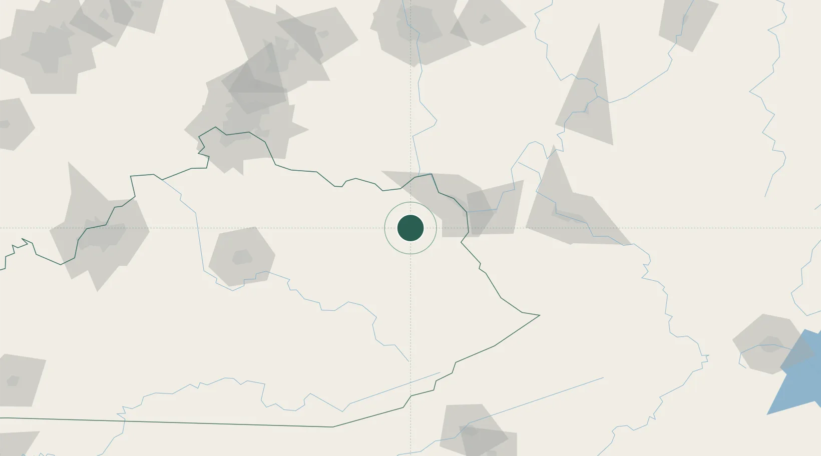
Location
Nearby Logistics Neighbours
Cities
- 1Olive Hill10 km
- 2Hitchins13 km
- 3Greenup38 km
- 4Wurtland40 km
- 5Prichard41 km
Ports
- 1Huron349 km
- 2Sandusky353 km
- 3Vermilion355 km
- 4Port Clinton360 km
- 5Lorain362 km
Airports
- 1Tri-State Airport / Milton J. Ferguson Field45 km
- 2Julian Carroll Airport80 km
- 3Yeager Airport129 km
- 4Central Kentucky Regional Airport133 km
- 5Blue Grass Airport138 km
Trade Zones
- 1FTZ No. 229 Charleston118 km
- 2FTZ No. 054 Clinton County142 km
- 3FTZ No. 046 CIncinnati155 km
- 4FTZ No. 138 Franklin County171 km
- 5FTZ No. 047 Boone County175 km
DatabookThe Record of Consolidated Knowledge
United States beyond logistics?