Transport Functions
Rail
Road
Multimodal
Hub Profile
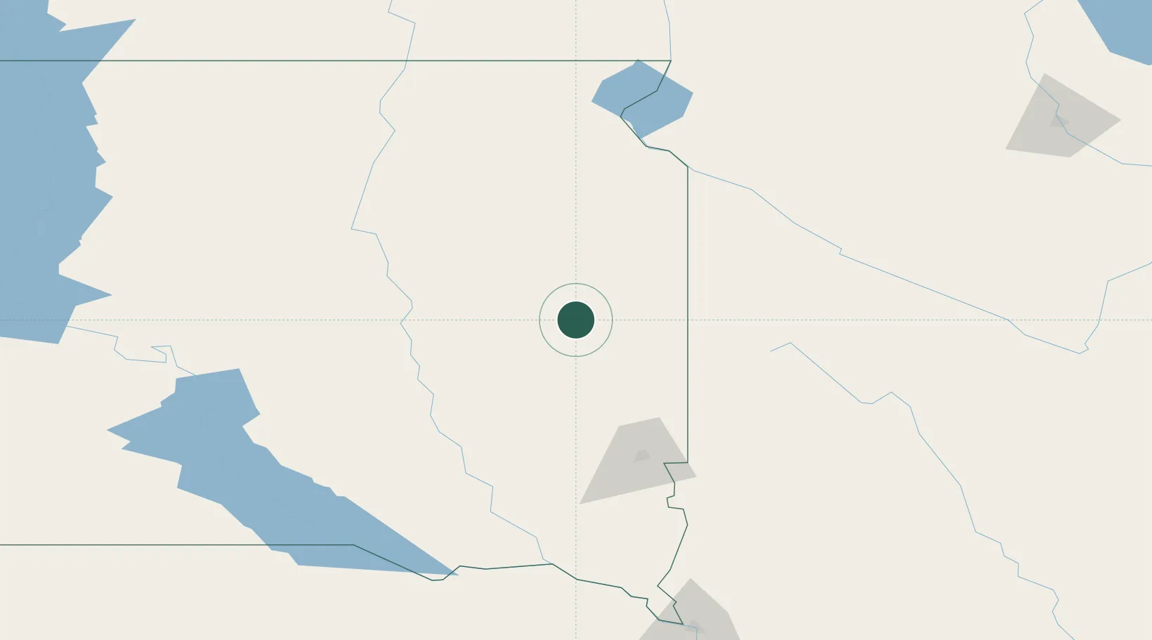
Place type
Populated place
Region
South Dakota
Population
883
Time zone
America/Chicago
Elevation
562 m
Location
Nearby Logistics Neighbours
Ports
- 1Duluth474 km
- 2Superior474 km
- 3Two Harbors518 km
- 4Ashland548 km
- 5Washburn550 km
Airports
Trade Zones
- 1FTZ No. 220 Sioux Falls95 km
- 2FTZ No. 288 Northwest Iowa159 km
- 3FTZ No. 267 Fargo277 km
- 4FTZ No. 119 Minneapolis-St. Paul315 km
- 5FTZ No. 103 Grand Forks395 km
DatabookThe Record of Consolidated Knowledge
United States beyond logistics?