Transport Functions
Road
Multimodal
Hub Profile
Region
SD
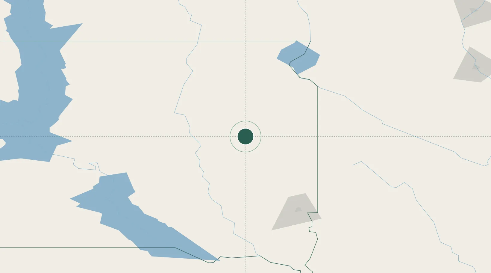
Location
Nearby Logistics Neighbours
Ports
- 1Duluth484 km
- 2Superior484 km
- 3Two Harbors527 km
- 4Ashland561 km
- 5Washburn563 km
Airports
- 1Watertown Regional Airport45 km
- 2Huron Regional Airport63 km
- 3Aberdeen Regional Airport121 km
- 4Sioux Falls Regional Airport126 km
- 5Chan Gurney Municipal Airport186 km
Trade Zones
- 1FTZ No. 220 Sioux Falls127 km
- 2FTZ No. 288 Northwest Iowa194 km
- 3FTZ No. 267 Fargo256 km
- 4FTZ No. 119 Minneapolis-St. Paul338 km
- 5FTZ No. 103 Grand Forks371 km
DatabookThe Record of Consolidated Knowledge
United States beyond logistics?