Transport Functions
Rail
Road
Hub Profile
Place type
Populated place
Region
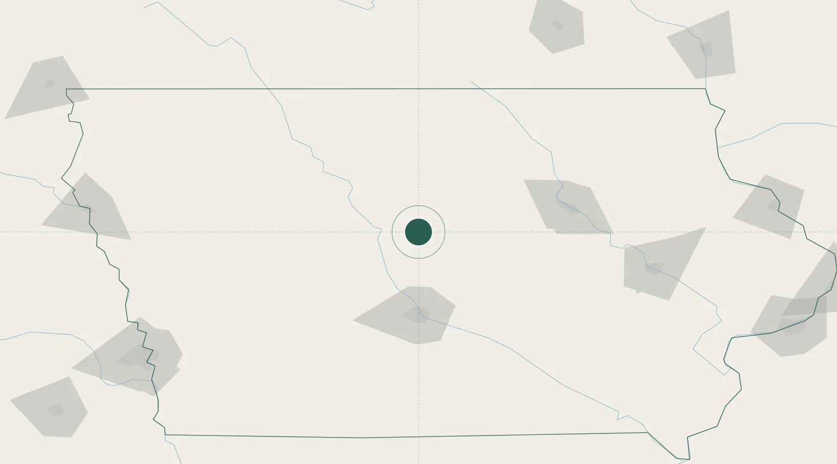
Iowa
Population
1,188
Time zone
America/Chicago
Elevation
322 m
Location
Nearby Logistics Neighbours
Cities
- 1Ellsworth8 km
- 2Blairsburg20 km
- 3Alden34 km
- 4Nevada36 km
- 5New Providence40 km
Ports
- 1Great Lakes478 km
- 2Milwaukee478 km
- 3Waukegan480 km
- 4Kenosha480 km
- 5Racine483 km
Airports
Trade Zones
DatabookThe Record of Consolidated Knowledge
United States beyond logistics?