UN/LOCODE hub · United States
USZIW
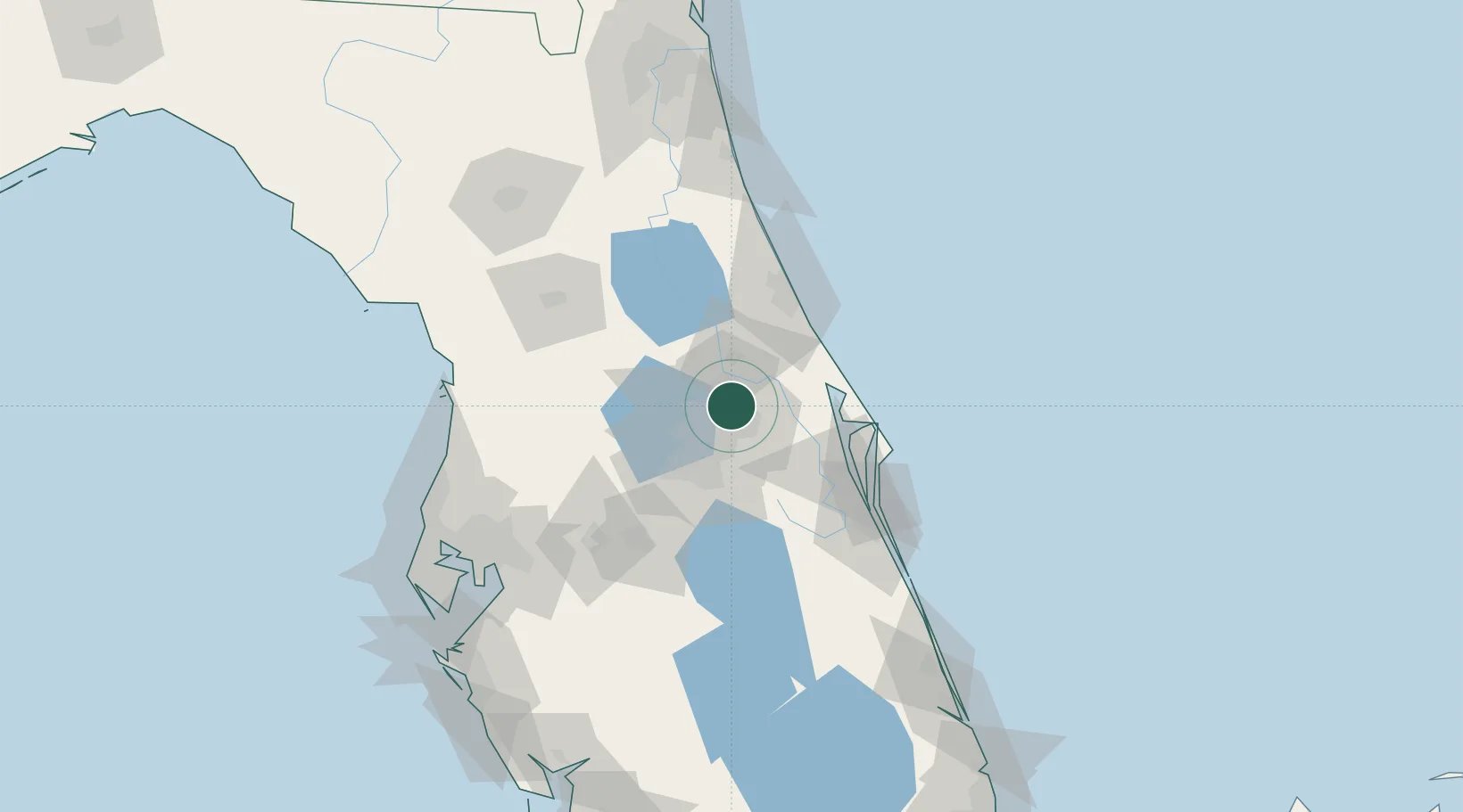
Winter Springs
28.6833°, -81.3000°
34,789
Population
1
Transport functions
Transport Functions
Port
Hub Profile
Place type
Populated place
Region
Florida
Population
34,789
Time zone
America/New_York
Elevation
16 m
Location
Nearby Logistics Neighbours
Cities
- 1Casselberry3 km
- 2Maitland10 km
- 3Oviedo10 km
- 4Bay Lake17 km
- 5Geneva19 km
Ports
- 1Canaveral Harbor67 km
- 2St Augustine135 km
- 3Tampa141 km
- 4Tarpon Springs155 km
- 5Sankt-Peterburg164 km
Airports
Trade Zones
- 1FTZ No. 250 Seminole County9 km
- 2FTZ No. 042 Orlando30 km
- 3FTZ No. 198 Volusia County41 km
- 4FTZ No. 136 Brevard County42 km
- 5FTZ No. 215 Sebring137 km
DatabookThe Record of Consolidated Knowledge
United States beyond logistics?