Foreign Trade Zone · United States

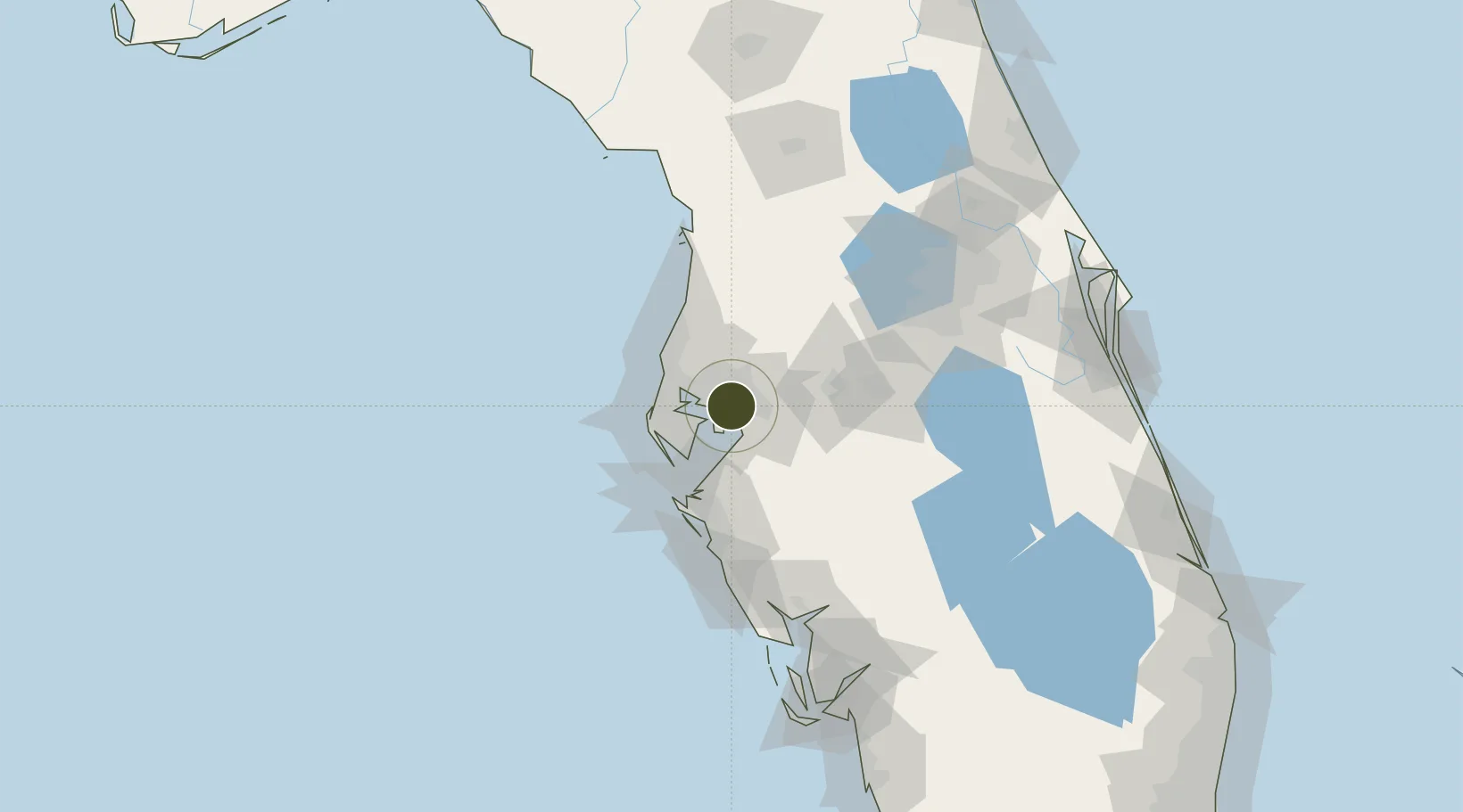
FTZ No. 079 Tampa Active

27.9503°, -82.4450°
3.8 km
Nearest port
9.1 km
Nearest airport

Gateway access

Nearest neighbours — logibook spatial index (haversine) over the source coordinates

Zone profile

Zone type
Foreign Trade Zone
Open Zone Map
Region
Florida
Open Zone Map
Status
Active
Open Zone Map
Management
Public-Private Partnership
Open Zone Map
Operator
Foreign-Trade Zone No. 79 Board, Inc.
Open Zone Map
Legal framework
Foreign-Trade Zones Act
Open Zone Map

Location

Location of ozm-4893
Natural Earth 10m (public domain) · Florida · ozm-4893 · 27.95, -82.45GoogleOSMYandex

Nearby Logistics Neighbours

Ports
  1. 1Tampa4 km
  2. 2Sankt-Peterburg27 km
  3. 3Port Manatee37 km
  4. 4Tarpon Springs39 km
  5. 5Boca Grande140 km
Nearest neighbours — logibook spatial index (haversine) over the source coordinates
Airports
  1. 1Tampa International Airport9 km
  2. 2MacDill Air Force Base14 km
  3. 3St. Petersburg Clearwater International Airport24 km
  4. 4Lakeland Linder International Airport42 km
  5. 5Sarasota Bradenton International Airport63 km
Nearest neighbours — logibook spatial index (haversine) over the source coordinates
Cities
  1. 1Tampa4 km
  2. 2Riverview17 km
  3. 3Seffner18 km
  4. 4Valrico19 km
  5. 5Lutz22 km
Nearest neighbours — logibook spatial index (haversine) over the source coordinates
Trade Zones
  1. 1FTZ No. 193 Pinellas County39 km
  2. 2FTZ No. 169 Manatee County64 km
  3. 3FTZ No. 215 Sebring105 km
  4. 4FTZ No. 042 Orlando109 km
  5. 5FTZ No. 136 Brevard County124 km
Nearest neighbours — logibook spatial index (haversine) over the source coordinates
DatabookThe Record of Consolidated Knowledge
United States beyond logistics?
Browse databook

All Sources

Trade ZonesOpen Zone Map
CC BY
Portsthe NGA World Port Index
Public domain (US gov)
AirportsOurAirports
Public domain
LocationsUN/LOCODE
UN/LOCODE — free
← United States trade zones