Large airport · United States
Orlando International AirportKMCO
28.4294°, -81.3090°
12,005 ft
Longest runway
4
Runways
96 ft
Elevation
Runway & Layout

Radio Frequencies
ATIS
121.25 MHz
TWR
118.45 MHz
GND
121.8 MHz
CLD
134.7 MHz
CLNC DEL
A/D
119.4 MHz
APP/DEP
OPS
41.5 MHz
AR OPS
RDO
122.1 MHz
ST PETERSBURG RDO
RDO
122.2 MHz
ST PETERSBURG RDO
UNIC
122.95 MHz
UNICOM
Runways · 4
| Runway | Dimensions | Surface | True heading | Lit |
|---|---|---|---|---|
| 18L/36R | 12,005 × 200ft | Asphalt / concrete | 179° | ✓ |
| 18R/36L | 12,004 × 200ft | Concrete | 179° | ✓ |
| 17R/35L | 10,000 × 150ft | Concrete | 179° | ✓ |
| 17L/35R | 9,001 × 150ft | Asphalt | 180° | ✓ |
Airport Specifications
IATA code
MCO
ICAO code
KMCO
Airport class
Large airport
Scheduled service
Yes
Runway surface
Asphalt / concrete
Served city
Orlando
Location
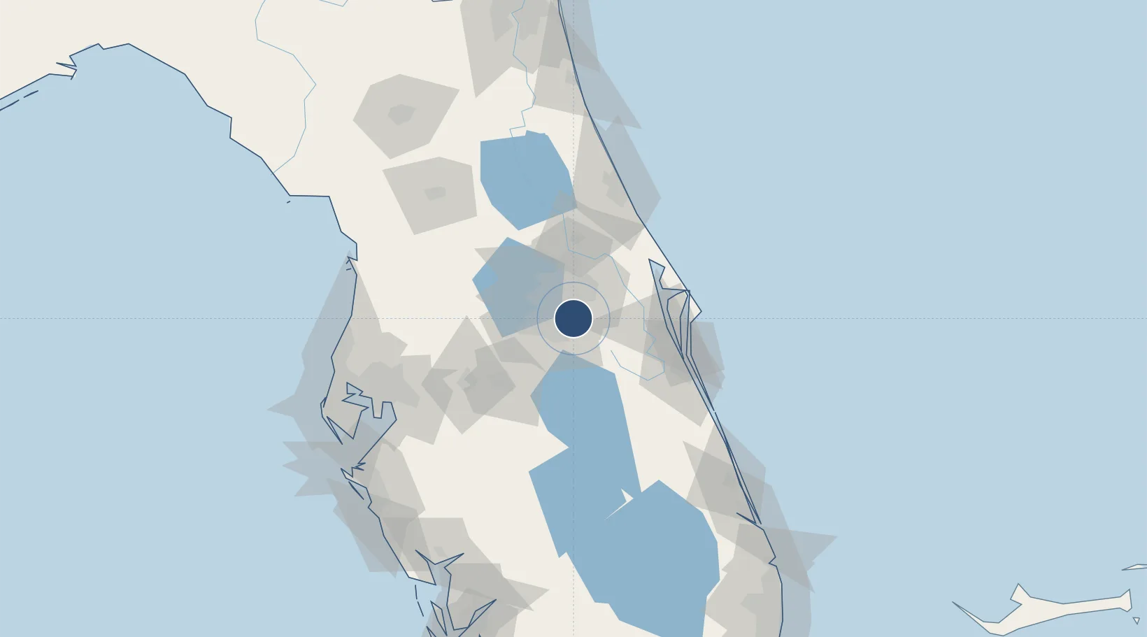
Nearby Logistics Neighbours
Airports
Cities
- 1Bay Lake15 km
- 2Maitland22 km
- 3Ocoee28 km
- 4Winter Springs28 km
- 5Casselberry28 km
Ports
- 1Canaveral Harbor74 km
- 2Tampa126 km
- 3Fort Pierce145 km
- 4Tarpon Springs146 km
- 5Sankt-Peterburg148 km
Trade Zones
- 1FTZ No. 136 Brevard County15 km
- 2FTZ No. 042 Orlando20 km
- 3FTZ No. 250 Seminole County36 km
- 4FTZ No. 198 Volusia County67 km
- 5FTZ No. 215 Sebring109 km
DatabookThe Record of Consolidated Knowledge
United States beyond logistics?