Transport Functions
Port
Hub Profile
Place type
Populated place
Region
Florida
Population
818
Time zone
America/New_York
Elevation
22 m
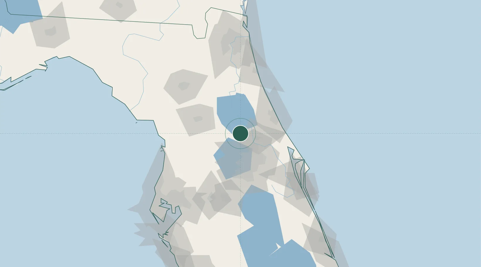
Location
Nearby Logistics Neighbours
Cities
- 1Sorrento21 km
- 2Orange City23 km
- 3Cutler Ridge25 km
- 4Astatula36 km
- 5Casselberry39 km
Ports
- 1Canaveral Harbor95 km
- 2St Augustine104 km
- 3Tampa149 km
- 4Jacksonville149 km
- 5Tarpon Springs152 km
Airports
Trade Zones
- 1FTZ No. 198 Volusia County9 km
- 2FTZ No. 250 Seminole County31 km
- 3FTZ No. 042 Orlando56 km
- 4FTZ No. 136 Brevard County80 km
- 5FTZ No. 079 Tampa145 km
DatabookThe Record of Consolidated Knowledge
United States beyond logistics?