UN/LOCODE hub · United States
USRRN

Sorrento

28.8000°, -81.5500°
861
Population
2
Transport functions

Transport Functions

Road
Multimodal
UN/LOCODE

Hub Profile

Place type
Populated place
GeoNames
Region
Florida
GeoNames
Population
861
GeoNames
Time zone
America/New_York
GeoNames
Elevation
21 m
GeoNames

Location

Location of USRRN
Natural Earth 10m (public domain) · Florida · USRRN · 28.80, -81.55GoogleOSMYandex

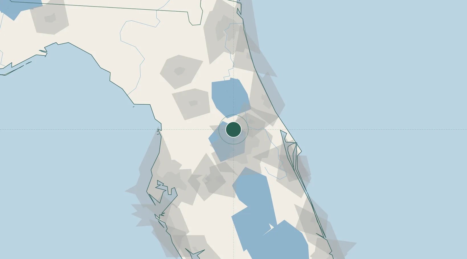
Nearby Logistics Neighbours

Cities
  1. 1Astatula20 km
  2. 2Paisley21 km
  3. 3Ocoee24 km
  4. 4Casselberry25 km
  5. 5Maitland27 km
Nearest neighbours — logibook spatial index (haversine) over the source coordinates
Ports
  1. 1Canaveral Harbor92 km
  2. 2St Augustine124 km
  3. 3Tampa132 km
  4. 4Tarpon Springs139 km
  5. 5Sankt-Peterburg155 km
Nearest neighbours — logibook spatial index (haversine) over the source coordinates
Airports
  1. 1Leesburg International Airport25 km
  2. 2Orlando Sanford International Airport31 km
  3. 3Orlando Executive Airport35 km
  4. 4Orlando International Airport48 km
  5. 5Kissimmee Gateway Airport58 km
Nearest neighbours — logibook spatial index (haversine) over the source coordinates
Trade Zones
  1. 1FTZ No. 250 Seminole County19 km
  2. 2FTZ No. 198 Volusia County27 km
  3. 3FTZ No. 042 Orlando36 km
  4. 4FTZ No. 136 Brevard County63 km
  5. 5FTZ No. 079 Tampa129 km
Nearest neighbours — logibook spatial index (haversine) over the source coordinates
DatabookThe Record of Consolidated Knowledge
United States beyond logistics?
Browse databook

All Sources

LocationsUN/LOCODE
UN/LOCODE — free
LocationsGeoNames
CC BY 4.0
Portsthe NGA World Port Index
Public domain (US gov)
AirportsOurAirports
Public domain
Trade Zonesthe World Bank SEZ database
CC BY 4.0
Trade ZonesOpen Zone Map
CC BY
← United States locations