UN/LOCODE hub · United States
USCIB
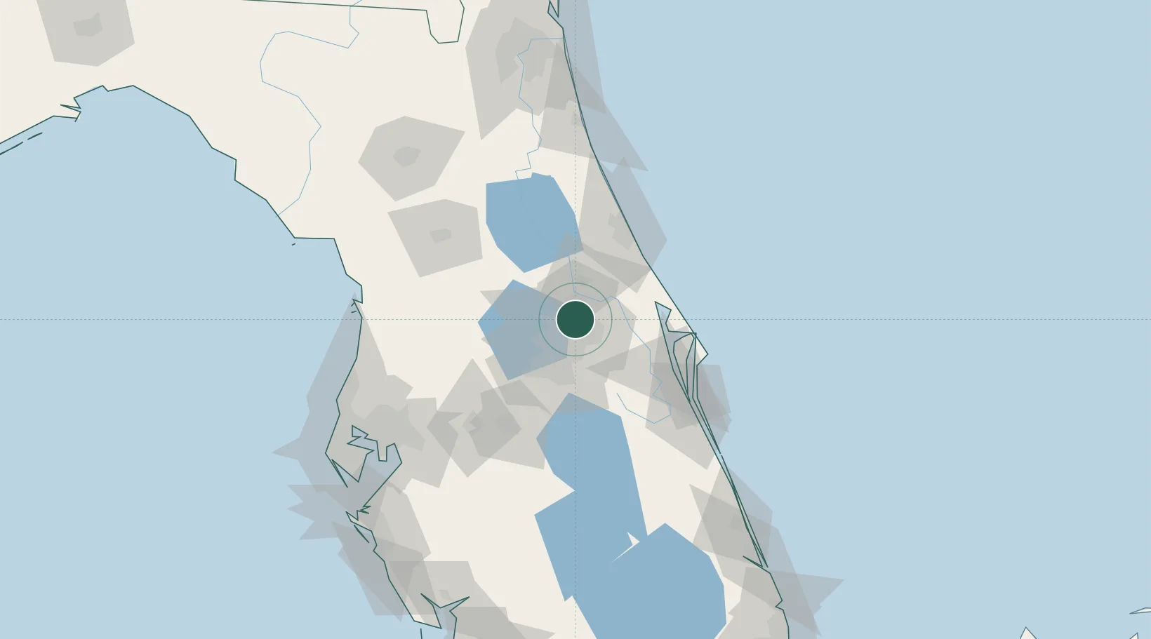
Casselberry
28.6833°, -81.3333°
27,056
Population
2
Transport functions
Transport Functions
Port
Road
Hub Profile
Place type
Populated place
Region
Florida
Population
27,056
Time zone
America/New_York
Elevation
17 m
Location
Nearby Logistics Neighbours
Cities
- 1Winter Springs3 km
- 2Maitland8 km
- 3Oviedo13 km
- 4Bay Lake16 km
- 5Geneva22 km
Ports
- 1Canaveral Harbor70 km
- 2St Augustine135 km
- 3Tampa139 km
- 4Tarpon Springs152 km
- 5Sankt-Peterburg162 km
Airports
Trade Zones
- 1FTZ No. 250 Seminole County7 km
- 2FTZ No. 042 Orlando28 km
- 3FTZ No. 198 Volusia County39 km
- 4FTZ No. 136 Brevard County43 km
- 5FTZ No. 079 Tampa136 km
DatabookThe Record of Consolidated Knowledge
United States beyond logistics?