Transport Functions
Rail
Road
Multimodal
Hub Profile
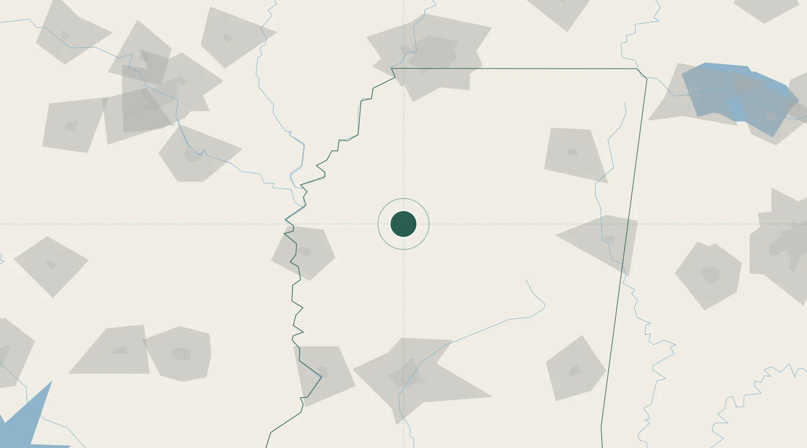
Place type
Populated place
Region
Mississippi
Time zone
America/Chicago
Elevation
41 m
Location
Nearby Logistics Neighbours
Cities
- 1Drew34 km
- 2Charleston41 km
- 3Tchula52 km
- 4Holly Ridge56 km
- 5Lexington63 km
Ports
- 1Port Of Memphis158 km
- 2Madisonville361 km
- 3Baton Rouge368 km
- 4Slidell378 km
- 5Gulfport382 km
Airports
- 1Greenwood–Leflore Airport20 km
- 2Mid Delta Regional Airport75 km
- 3University Oxford Airport102 km
- 4Monticello Municipal Ellis Field144 km
- 5Tupelo Regional Airport149 km
Trade Zones
- 1FTZ No. 287 Tunica County120 km
- 2FTZ No. 262 Southaven145 km
- 3FTZ No. 158 Vicksburg Jackson158 km
- 4FTZ No. 077 Memphis165 km
- 5FTZ No. 223 Memphis165 km
DatabookThe Record of Consolidated Knowledge
United States beyond logistics?