UN/LOCODE hub · United States
USHRS
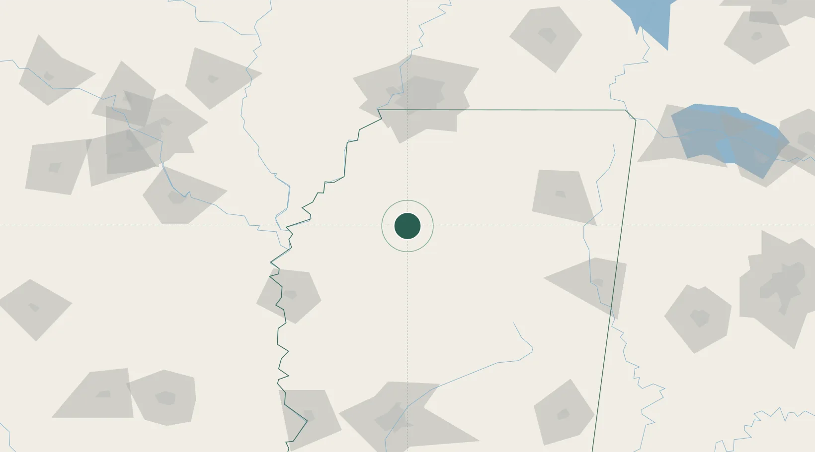
Charleston
34.0000°, -90.0500°
2,048
Population
2
Transport functions
Transport Functions
Road
Multimodal
Hub Profile
Place type
Populated place
Region
Mississippi
Population
2,048
Time zone
America/Chicago
Elevation
66 m
Location
Nearby Logistics Neighbours
Cities
- 1Money41 km
- 2Water Valley43 km
- 3Drew49 km
- 4Crenshaw57 km
- 5Bruce65 km
Ports
- 1Port Of Memphis119 km
- 2Madisonville400 km
- 3Baton Rouge409 km
- 4Mobile411 km
- 5Slidell416 km
Airports
- 1Greenwood–Leflore Airport56 km
- 2University Oxford Airport64 km
- 3Mid Delta Regional Airport104 km
- 4Memphis International Airport116 km
- 5Tupelo Regional Airport122 km
Trade Zones
- 1FTZ No. 287 Tunica County93 km
- 2FTZ No. 262 Southaven106 km
- 3FTZ No. 223 Memphis126 km
- 4FTZ No. 077 Memphis127 km
- 5FTZ No. 273 West Memphis128 km
DatabookThe Record of Consolidated Knowledge
United States beyond logistics?