Transport Functions
Port
Rail
Road
Hub Profile
Place type
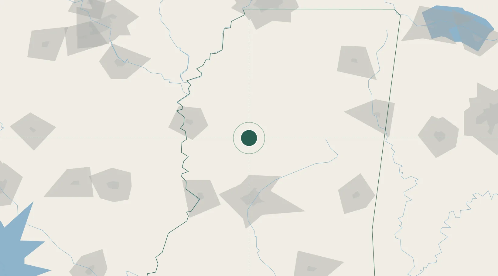
Populated place
Region
Mississippi
Population
2,006
Time zone
America/Chicago
Elevation
36 m
Location
Nearby Logistics Neighbours
Cities
- 1Lexington18 km
- 2Durant37 km
- 3Yazoo City41 km
- 4Money52 km
- 5Holly Ridge58 km
Ports
- 1Port Of Memphis210 km
- 2Madisonville310 km
- 3Baton Rouge317 km
- 4Slidell327 km
- 5Gulfport333 km
Airports
Trade Zones
- 1FTZ No. 158 Vicksburg Jackson110 km
- 2FTZ No. 287 Tunica County169 km
- 3FTZ No. 262 Southaven197 km
- 4FTZ No. 077 Memphis216 km
- 5FTZ No. 223 Memphis217 km
DatabookThe Record of Consolidated Knowledge
United States beyond logistics?