Transport Functions
Rail
Road
Multimodal
Hub Profile
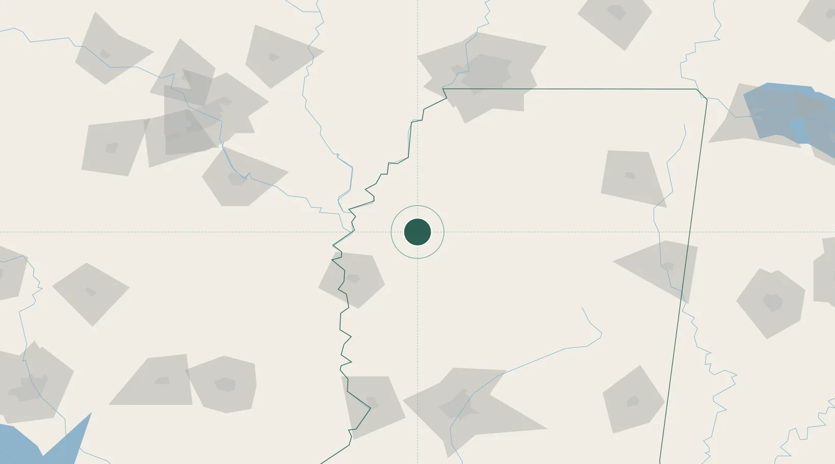
Place type
Populated place
Region
Mississippi
Population
1,775
Time zone
America/Chicago
Elevation
41 m
Location
Nearby Logistics Neighbours
Cities
- 1Money34 km
- 2Holly Ridge45 km
- 3Rosedale47 km
- 4Charleston49 km
- 5Scott56 km
Ports
- 1Port Of Memphis145 km
- 2Baton Rouge378 km
- 3Madisonville380 km
- 4Slidell399 km
- 5Gulfport407 km
Airports
Trade Zones
- 1FTZ No. 287 Tunica County96 km
- 2FTZ No. 262 Southaven135 km
- 3FTZ No. 077 Memphis150 km
- 4FTZ No. 223 Memphis152 km
- 5FTZ No. 273 West Memphis153 km
DatabookThe Record of Consolidated Knowledge
United States beyond logistics?